US County Maps
County maps for every state – 3,144 counties and county-equivalents, free to print.
Pick a state to see all of its counties labeled, with county seats, population and area, a county finder and free printable maps. Texas has the most counties (254); Delaware has the fewest of any state (3).

County maps by state
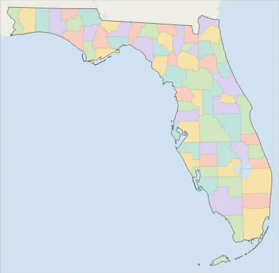 Florida county map67 counties
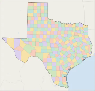 Texas county map254 counties
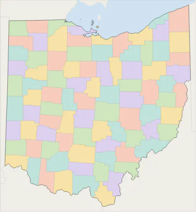 Ohio county map88 counties
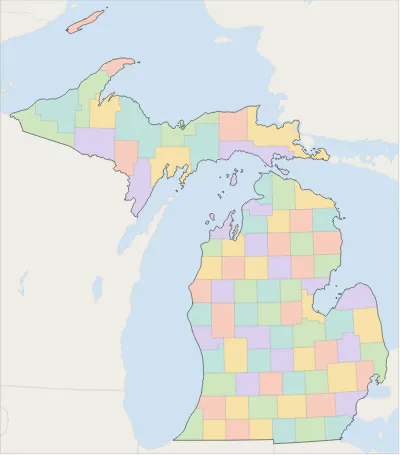 Michigan county map83 counties
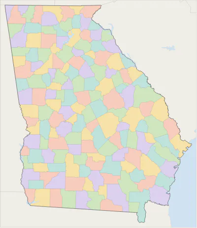 Georgia county map159 counties
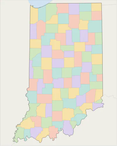 Indiana county map92 counties
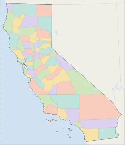 California county map58 counties
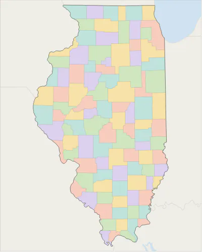 Illinois county map102 counties
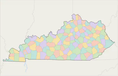 Kentucky county map120 counties
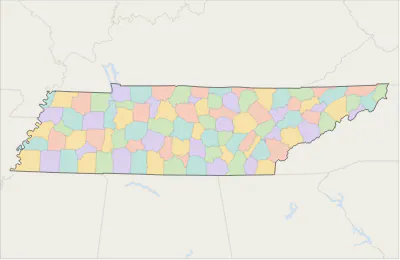 Tennessee county map95 counties
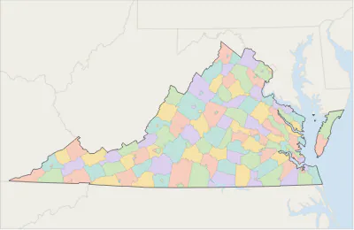 Virginia county map133 counties and independent cities
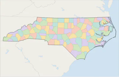 North Carolina county map100 counties
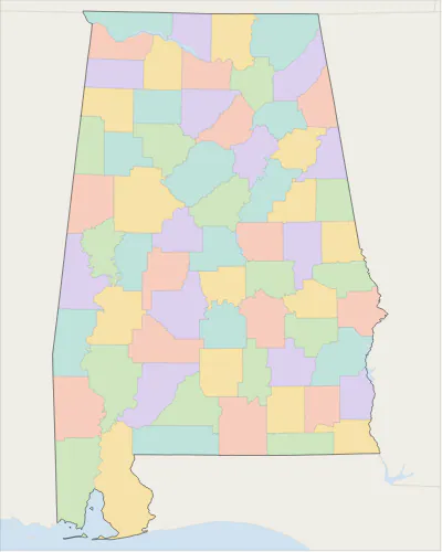 Alabama county map67 counties
 Alaska county map30 boroughs and census areas
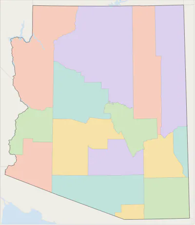 Arizona county map15 counties
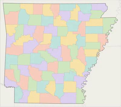 Arkansas county map75 counties
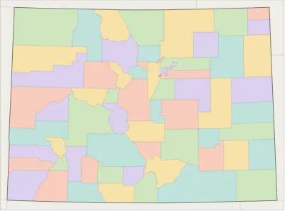 Colorado county map64 counties
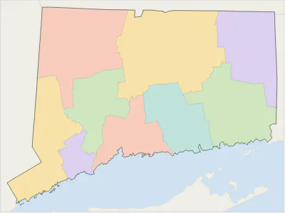 Connecticut county map9 planning regions
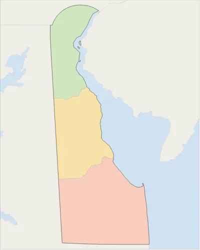 Delaware county map3 counties
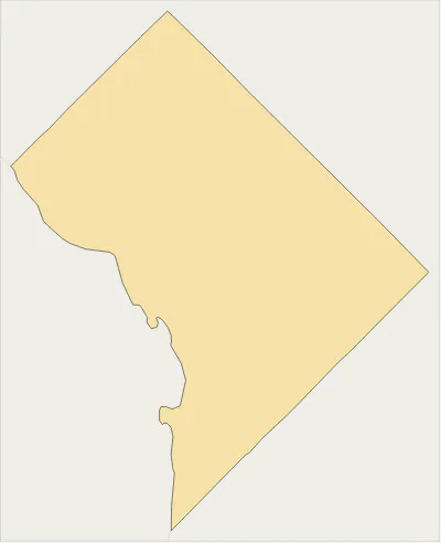 District of Columbia county map1 county-equivalent
 Hawaii county map5 counties
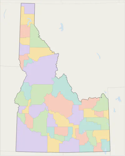 Idaho county map44 counties
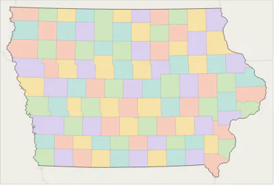 Iowa county map99 counties
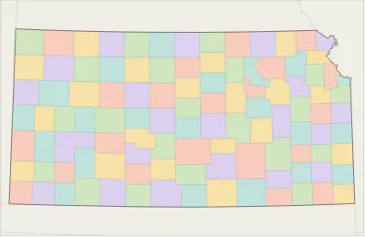 Kansas county map105 counties
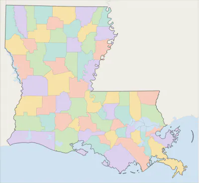 Louisiana county map64 parishes
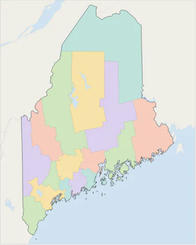 Maine county map16 counties
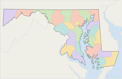 Maryland county map24 counties
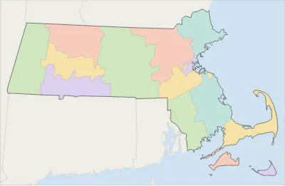 Massachusetts county map14 counties
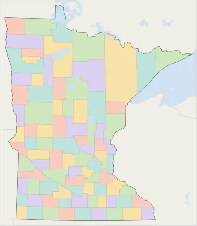 Minnesota county map87 counties
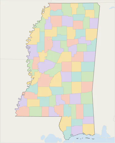 Mississippi county map82 counties
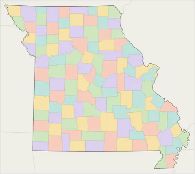 Missouri county map115 counties
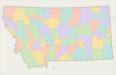 Montana county map56 counties
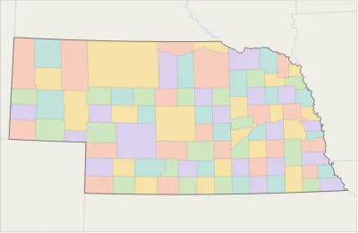 Nebraska county map93 counties
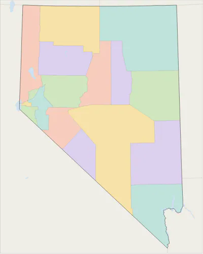 Nevada county map17 counties
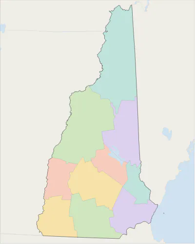 New Hampshire county map10 counties
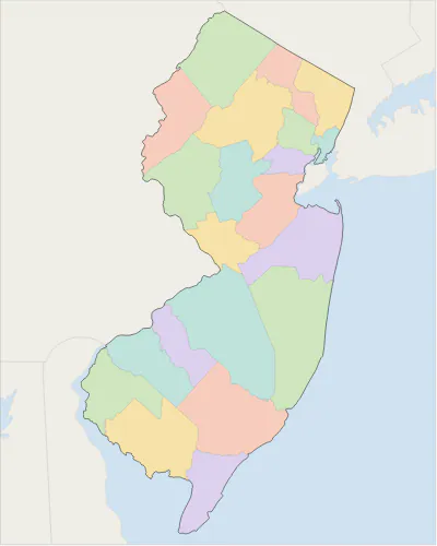 New Jersey county map21 counties
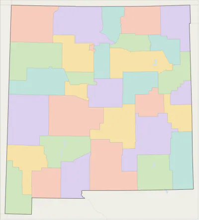 New Mexico county map33 counties
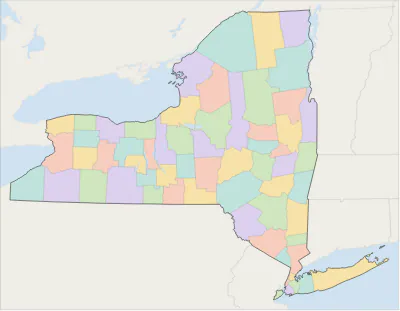 New York county map62 counties
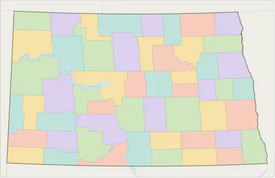 North Dakota county map53 counties
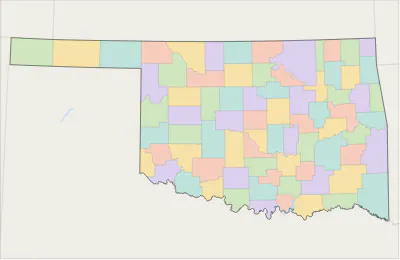 Oklahoma county map77 counties
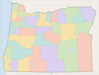 Oregon county map36 counties
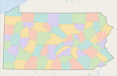 Pennsylvania county map67 counties
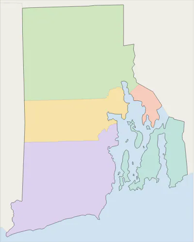 Rhode Island county map5 counties
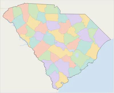 South Carolina county map46 counties
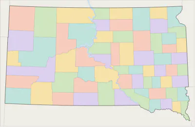 South Dakota county map66 counties
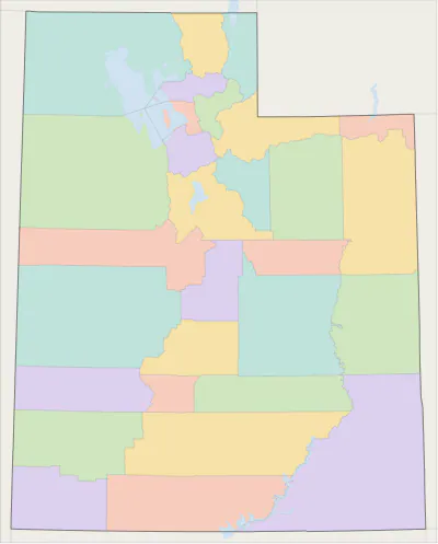 Utah county map29 counties
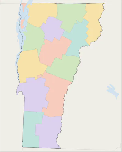 Vermont county map14 counties
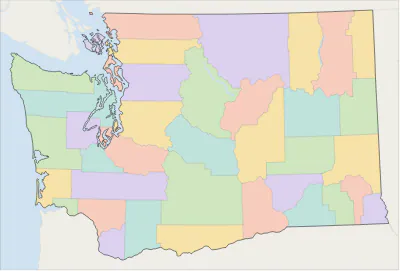 Washington county map39 counties
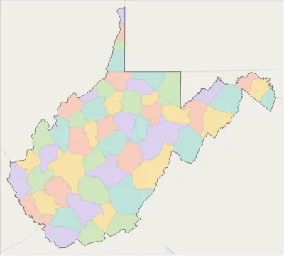 West Virginia county map55 counties
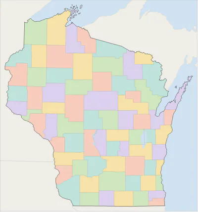 Wisconsin county map72 counties
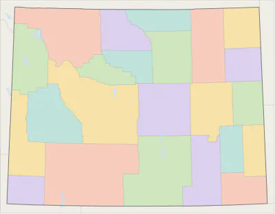 Wyoming county map23 counties
Metro area county maps
Which counties make up a metro area? All metro area maps.
- New York City metro area 22 counties
- Los Angeles metro area 2 counties
- Chicago metro area 13 counties
- Dallas–Fort Worth metro area 11 counties
- Houston metro area 10 counties
- Atlanta metro area 29 counties
- Washington, D.C. metro area 23 counties
- Miami metro area 3 counties
- Philadelphia metro area 11 counties
- Phoenix metro area 2 counties
- Boston metro area 7 counties
- Inland Empire metro area 2 counties
- San Francisco–Oakland metro area 5 counties
- Detroit metro area 6 counties
- Seattle metro area 3 counties
- Minneapolis–St. Paul metro area 15 counties
- Tampa Bay metro area 4 counties
- Denver metro area 10 counties
- Orlando metro area 4 counties
- Charlotte metro area 11 counties
- Baltimore metro area 7 counties
- St. Louis metro area 15 counties
- San Antonio metro area 8 counties
- Austin metro area 5 counties
- Portland metro area 7 counties
- Sacramento metro area 4 counties
- Pittsburgh metro area 8 counties
- Cincinnati metro area 15 counties
- Kansas City metro area 14 counties
- Columbus metro area 10 counties
- Indianapolis metro area 11 counties
- Nashville metro area 14 counties
- Cleveland metro area 6 counties
- San Jose metro area 2 counties
- Virginia Beach–Norfolk (Hampton Roads) metro area 18 counties
- Jacksonville metro area 5 counties
- Providence metro area 6 counties
- Raleigh metro area 3 counties
- Milwaukee metro area 4 counties
- Oklahoma City metro area 7 counties
- Louisville metro area 12 counties
- Richmond, Virginia metro area 17 counties
- Memphis metro area 9 counties
- Salt Lake City metro area 2 counties
- Fresno metro area 2 counties
- Birmingham metro area 7 counties
- Grand Rapids metro area 5 counties
- Hartford metro area 2 counties
- Buffalo metro area 2 counties
- Tulsa metro area 7 counties
- Rochester metro area 5 counties
- Greenville, South Carolina metro area 4 counties
- Omaha metro area 8 counties
- Bridgeport–Stamford metro area 2 counties
- New Orleans metro area 7 counties
- Knoxville metro area 9 counties
- Sarasota–Bradenton metro area 2 counties
- Albuquerque metro area 4 counties
- Albany, New York metro area 5 counties
- Charleston, South Carolina metro area 3 counties
- Baton Rouge metro area 10 counties
- Lehigh Valley (Allentown–Bethlehem) metro area 4 counties
- El Paso metro area 2 counties
- Columbia, South Carolina metro area 6 counties
- Boise metro area 5 counties
- Dayton metro area 3 counties
- Greensboro–High Point metro area 3 counties
- Colorado Springs metro area 2 counties
- Little Rock metro area 6 counties
- Provo–Orem metro area 2 counties
- Des Moines metro area 6 counties
- Daytona Beach metro area 2 counties
- Poughkeepsie–Newburgh metro area 2 counties
- Winston-Salem metro area 5 counties
- Madison, Wisconsin metro area 4 counties
- Akron metro area 2 counties
- Ogden metro area 3 counties
- Wichita metro area 4 counties
- Syracuse metro area 3 counties
- Augusta metro area 7 counties
- Durham–Chapel Hill metro area 4 counties
- Northwest Arkansas metro area 3 counties
- Harrisburg metro area 3 counties
- Jackson, Mississippi metro area 8 counties
- Spokane metro area 2 counties
- Toledo metro area 3 counties
- Chattanooga metro area 6 counties
- Reno metro area 3 counties
- Portland, Maine metro area 3 counties
- Scranton–Wilkes-Barre metro area 3 counties
- Port St. Lucie metro area 2 counties
- Huntsville metro area 2 counties
- Pensacola metro area 2 counties
- Lexington, Kentucky metro area 6 counties
- Killeen–Temple metro area 3 counties
- Springfield, Missouri metro area 5 counties
- San Francisco Bay Area 9 counties
Where is … County?
Many county names repeat from state to state: there are 30 Washington Counties and 25 Jefferson Counties. See where each one is on a map. All common county names.
- Where is Washington County? 30
- Where is Jefferson County? 25
- Where is Franklin County? 24
- Where is Jackson County? 23
- Where is Lincoln County? 23
- Where is Madison County? 19
- Where is Clay County? 18
- Where is Montgomery County? 18
- Where is Marion County? 17
- Where is Monroe County? 17
- Where is Union County? 17
- Where is Wayne County? 16
- Where is Grant County? 14
- Where is Greene County? 14
- Where is Warren County? 14
- Where is Carroll County? 13
- Where is Adams County? 12
- Where is Clark County? 12
- Where is Douglas County? 12
- Where is Johnson County? 12
- Where is Lake County? 12
- Where is Lee County? 12
- Where is Marshall County? 12
- Where is Polk County? 12
- Where is Calhoun County? 11
- Where is Crawford County? 11
- Where is Fayette County? 11
- Where is Lawrence County? 11
- Where is Morgan County? 11
- Where is Scott County? 11
How many counties are in each state?
The United States has 3,144 counties and county-equivalents (parishes in Louisiana, boroughs and census areas in Alaska, independent cities in Virginia, and planning regions in Connecticut). Texas has the most, Georgia the second most (159). All states ranked, with average county size.
| State | Counties | Largest by area | Most populous | Population 2025 |
|---|---|---|---|---|
| Alabama | 67 | Baldwin County | Jefferson County | 5,193,088 |
| Alaska | 30 boroughs and census areas | Yukon-Koyukuk Census Area | Anchorage Municipality | 737,270 |
| Arizona | 15 | Coconino County | Maricopa County | 7,623,818 |
| Arkansas | 75 | Union County | Pulaski County | 3,114,791 |
| California | 58 | San Bernardino County | Los Angeles County | 39,355,309 |
| Colorado | 64 | Las Animas County | El Paso County | 6,012,561 |
| Connecticut | 9 planning regions | Capitol Planning Region | Capitol Planning Region | 3,688,496 |
| Delaware | 3 | Sussex County | New Castle County | 1,059,952 |
| District of Columbia | 1 county-equivalent | District of Columbia | District of Columbia | 693,645 |
| Florida | 67 | Collier County | Miami-Dade County | 23,462,518 |
| Georgia | 159 | Ware County | Fulton County | 11,302,748 |
| Hawaii | 5 | Hawaii County | Honolulu County | 1,432,820 |
| Idaho | 44 | Idaho County | Ada County | 2,029,733 |
| Illinois | 102 | McLean County | Cook County | 12,719,141 |
| Indiana | 92 | Allen County | Marion County | 6,973,333 |
| Iowa | 99 | Kossuth County | Polk County | 3,238,387 |
| Kansas | 105 | Butler County | Johnson County | 2,977,220 |
| Kentucky | 120 | Pike County | Jefferson County | 4,606,864 |
| Louisiana | 64 parishes | Vernon Parish | East Baton Rouge Parish | 4,618,189 |
| Maine | 16 | Aroostook County | Cumberland County | 1,414,874 |
| Maryland | 24 | Frederick County | Montgomery County | 6,265,347 |
| Massachusetts | 14 | Worcester County | Middlesex County | 7,154,084 |
| Michigan | 83 | Marquette County | Wayne County | 10,127,884 |
| Minnesota | 87 | St. Louis County | Hennepin County | 5,830,405 |
| Mississippi | 82 | Yazoo County | Harrison County | 2,954,160 |
| Missouri | 115 | Texas County | St. Louis County | 6,270,541 |
| Montana | 56 | Beaverhead County | Yellowstone County | 1,144,694 |
| Nebraska | 93 | Cherry County | Douglas County | 2,018,006 |
| Nevada | 17 | Nye County | Clark County | 3,282,188 |
| New Hampshire | 10 | Coos County | Hillsborough County | 1,415,342 |
| New Jersey | 21 | Burlington County | Bergen County | 9,548,215 |
| New Mexico | 33 | Catron County | Bernalillo County | 2,125,498 |
| New York | 62 | St. Lawrence County | Kings County | 20,002,427 |
| North Carolina | 100 | Robeson County | Wake County | 11,197,968 |
| North Dakota | 53 | McKenzie County | Cass County | 799,358 |
| Ohio | 88 | Ashtabula County | Franklin County | 11,900,510 |
| Oklahoma | 77 | Osage County | Oklahoma County | 4,123,288 |
| Oregon | 36 | Harney County | Multnomah County | 4,273,586 |
| Pennsylvania | 67 | Lycoming County | Philadelphia County | 13,059,432 |
| Rhode Island | 5 | Providence County | Providence County | 1,114,521 |
| South Carolina | 46 | Horry County | Greenville County | 5,570,274 |
| South Dakota | 66 | Meade County | Minnehaha County | 935,094 |
| Tennessee | 95 | Shelby County | Shelby County | 7,315,076 |
| Texas | 254 | Brewster County | Harris County | 31,709,821 |
| Utah | 29 | San Juan County | Salt Lake County | 3,538,904 |
| Vermont | 14 | Windsor County | Chittenden County | 644,663 |
| Virginia | 133 counties and independent cities | Pittsylvania County | Fairfax County | 8,880,107 |
| Washington | 39 | Okanogan County | King County | 8,001,020 |
| West Virginia | 55 | Randolph County | Kanawha County | 1,766,147 |
| Wisconsin | 72 | Marathon County | Milwaukee County | 5,972,787 |
| Wyoming | 23 | Sweetwater County | Laramie County | 588,753 |
Counties, county seats and county-equivalents
What is a county?
A county is the level of local government between the state and the city or town. Counties typically run the courts, keep property and vital records, maintain rural roads and hold elections. Their size and powers differ a lot from state to state.
What is a county seat?
The county seat is the city or town where the county government sits, usually with the courthouse. A few counties have two seats, and some have none.
Parishes, boroughs and independent cities
Louisiana calls its counties parishes. Alaska is divided into boroughs, and the parts outside any borough are counted as census areas. Virginia has 38 independent cities that belong to no county, and Baltimore, St. Louis and Carson City are independent cities too. Connecticut abolished county government in 1960; since 2022 the Census Bureau uses its nine planning regions instead of the eight historical counties.