Iowa County Map
All 99 counties with county seats and major cities
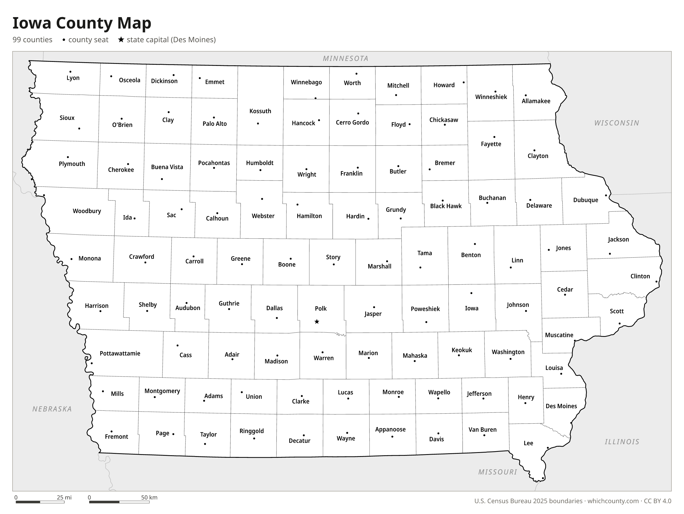
Iowa has 99 counties, and the 99-county map was complete by 1872. This map shows all 99 counties and their county seats. Tap a county for details, or download the free printable map below.

Updated October 4, 2026 · Boundaries: U.S. Census Bureau 2025 · Population: Census estimates for July 1, 2025
Iowa county facts
- Number of counties
- 99
- Largest by land area
- Kossuth County 973 sq mi
- Smallest by land area
- Dickinson County 380.5 sq mi
- Most people
- Polk County 516,546
- Fewest people
- Adams County 3,617
- Fastest growing since 2020
- Dallas County +18.8%
- Highest median household income
- Dallas County $102,379
- Oldest county
- Des Moines County est. 1834
- Newest county
- Humboldt County est. 1857
- State capital
- Des Moines Polk County
Buncombe County, created in 1851, was renamed Lyon County in 1862.
Crocker County was created from Kossuth County in 1870 and eliminated in 1871 after the Iowa Supreme Court ruled the act creating it unconstitutional.
List of 99 Iowa counties
Sorted A–Z. Click a column to sort, or a name to show it on the map. Download as CSV
| County | County seat | Population 2025 | Change since 2020 | Land area (sq mi) | Median income | Established | FIPS |
|---|---|---|---|---|---|---|---|
| Adair County | Greenfield | 7,403 | −1.3% | 569 | $68,092 | 1851 | 19001 |
| Adams County | Corning | 3,617 | −2.5% | 423 | $71,875 | 1851 | 19003 |
| Allamakee County | Waukon | 14,238 | +1.3% | 639 | $70,694 | 1847 | 19005 |
| Appanoose County | Centerville | 12,077 | −1.9% | 497 | $54,934 | 1843 | 19007 |
| Audubon County | Audubon | 5,509 | −2.9% | 443 | $58,229 | 1851 | 19009 |
| Benton County | Vinton | 26,004 | +1.6% | 716 | $86,962 | 1837 | 19011 |
| Black Hawk County | Waterloo | 131,532 | +0.3% | 566 | $66,417 | 1843 | 19013 |
| Boone County | Boone | 26,799 | +0.3% | 571 | $83,531 | 1846 | 19015 |
| Bremer County | Waverly | 25,296 | +1.2% | 436 | $86,784 | 1851 | 19017 |
| Buchanan County | Independence | 20,883 | +1.6% | 571 | $78,236 | 1837 | 19019 |
| Buena Vista County | Storm Lake | 20,449 | −1.8% | 575 | $71,719 | 1851 | 19021 |
| Butler County | Allison | 14,049 | −2% | 580 | $73,715 | 1851 | 19023 |
| Calhoun County | Rockwell City | 9,562 | −3.7% | 570 | $64,964 | 1851 | 19025 |
| Carroll County | Carroll | 20,303 | −2.2% | 570 | $72,930 | 1851 | 19027 |
| Cass County | Atlantic | 12,960 | −1.3% | 564 | $63,013 | 1851 | 19029 |
| Cedar County | Tipton | 18,359 | −0.7% | 580 | $80,602 | 1837 | 19031 |
| Cerro Gordo County | Mason City | 42,372 | −1.7% | 568 | $68,189 | 1851 | 19033 |
| Cherokee County | Cherokee | 11,369 | −2.4% | 577 | $71,269 | 1851 | 19035 |
| Chickasaw County | New Hampton | 11,663 | −3% | 504 | $75,675 | 1851 | 19037 |
| Clarke County | Osceola | 9,574 | −1.8% | 431 | $71,641 | 1846 | 19039 |
| Clay County | Spencer | 16,202 | −1.1% | 567 | $65,428 | 1851 | 19041 |
| Clayton County | Elkader | 16,845 | −1.1% | 779 | $67,242 | 1837 | 19043 |
| Clinton County | Clinton | 46,002 | −1% | 695 | $66,981 | 1837 | 19045 |
| Crawford County | Denison | 16,237 | −1.7% | 714 | $67,027 | 1851 | 19047 |
| Dallas County | Adel | 118,457 | +18.8% | 588 | $102,379 | 1846 | 19049 |
| Davis County | Bloomfield | 9,230 | +1.3% | 502 | $77,194 | 1843 | 19051 |
| Decatur County | Leon | 7,655 | −1.4% | 532 | $59,044 | 1846 | 19053 |
| Delaware County | Manchester | 17,674 | +1.1% | 578 | $74,989 | 1837 | 19055 |
| Des Moines County | Burlington | 38,077 | −2.2% | 416 | $62,928 | 1834 | 19057 |
| Dickinson County | Spirit Lake | 18,077 | +2.1% | 381 | $75,432 | 1851 | 19059 |
| Dubuque County | Dubuque | 99,381 | +0.1% | 608 | $77,630 | 1834 | 19061 |
| Emmet County | Estherville | 9,107 | −3% | 396 | $63,730 | 1851 | 19063 |
| Fayette County | West Union | 19,047 | −2.4% | 731 | $60,165 | 1837 | 19065 |
| Floyd County | Charles City | 14,901 | −4.7% | 501 | $68,557 | 1851 | 19067 |
| Franklin County | Hampton | 9,868 | −1.4% | 582 | $59,894 | 1851 | 19069 |
| Fremont County | Sidney | 6,522 | −1.3% | 511 | $71,621 | 1847 | 19071 |
| Greene County | Jefferson | 8,658 | −1.2% | 570 | $63,409 | 1851 | 19073 |
| Grundy County | Grundy Center | 12,361 | +0.2% | 502 | $87,205 | 1851 | 19075 |
| Guthrie County | Guthrie Center | 10,782 | +1.5% | 591 | $77,711 | 1851 | 19077 |
| Hamilton County | Webster City | 14,944 | −0.6% | 577 | $72,432 | 1856 | 19079 |
| Hancock County | Garner | 10,528 | −2.5% | 571 | $70,601 | 1851 | 19081 |
| Hardin County | Eldora | 16,455 | −2.5% | 569 | $65,069 | 1851 | 19083 |
| Harrison County | Logan | 14,623 | +0.4% | 697 | $79,535 | 1851 | 19085 |
| Henry County | Mount Pleasant | 19,349 | −5.5% | 434 | $67,436 | 1836 | 19087 |
| Howard County | Cresco | 9,415 | −0.6% | 473 | $67,446 | 1851 | 19089 |
| Humboldt County | Dakota City | 9,409 | −2% | 434 | $71,946 | 1857 | 19091 |
| Ida County | Ida Grove | 6,777 | −3.2% | 432 | $63,073 | 1851 | 19093 |
| Iowa County | Marengo | 16,504 | −1% | 587 | $71,223 | 1843 | 19095 |
| Jackson County | Maquoketa | 19,288 | −1% | 636 | $74,186 | 1837 | 19097 |
| Jasper County | Newton | 38,153 | +0.9% | 730 | $71,311 | 1846 | 19099 |
| Jefferson County | Fairfield | 15,291 | −2.4% | 436 | $61,620 | 1839 | 19101 |
| Johnson County | Iowa City | 160,044 | +4.7% | 613 | $74,935 | 1837 | 19103 |
| Jones County | Anamosa | 21,253 | +2.9% | 576 | $73,531 | 1837 | 19105 |
| Keokuk County | Sigourney | 9,797 | −2.3% | 579 | $62,329 | 1837 | 19107 |
| Kossuth County | Algona | 14,322 | −3.4% | 973 | $67,697 | 1851 | 19109 |
| Lee County | Fort Madison, Keokuk | 32,306 | −3.7% | 518 | $62,382 | 1836 | 19111 |
| Linn County | Cedar Rapids | 232,028 | +0.8% | 717 | $77,649 | 1837 | 19113 |
| Louisa County | Wapello | 10,416 | −3.9% | 402 | $77,354 | 1836 | 19115 |
| Lucas County | Chariton | 8,847 | +2.5% | 431 | $61,793 | 1846 | 19117 |
| Lyon County | Rock Rapids | 12,354 | +3.5% | 588 | $76,746 | 1851 | 19119 |
| Madison County | Winterset | 17,270 | +4.4% | 561 | $90,855 | 1846 | 19121 |
| Mahaska County | Oskaloosa | 21,880 | −1.4% | 571 | $70,940 | 1843 | 19123 |
| Marion County | Knoxville | 34,192 | +2.3% | 555 | $78,680 | 1845 | 19125 |
| Marshall County | Marshalltown | 39,890 | −0.5% | 573 | $73,315 | 1846 | 19127 |
| Mills County | Glenwood | 14,793 | +2% | 437 | $90,753 | 1851 | 19129 |
| Mitchell County | Osage | 10,650 | +0.8% | 469 | $71,365 | 1851 | 19131 |
| Monona County | Onawa | 8,539 | −2.5% | 694 | $68,377 | 1851 | 19133 |
| Monroe County | Albia | 7,406 | −2.3% | 434 | $70,996 | 1843 | 19135 |
| Montgomery County | Red Oak | 10,002 | −3.2% | 424 | $63,666 | 1851 | 19137 |
| Muscatine County | Muscatine | 41,853 | −3.2% | 437 | $69,396 | 1836 | 19139 |
| O'Brien County | Primghar | 14,220 | +0.2% | 573 | $68,356 | 1851 | 19141 |
| Osceola County | Sibley | 5,980 | −3.5% | 399 | $69,239 | 1851 | 19143 |
| Page County | Clarinda | 14,856 | −2.4% | 535 | $57,953 | 1847 | 19145 |
| Palo Alto County | Emmetsburg | 8,899 | −1.1% | 564 | $72,781 | 1851 | 19147 |
| Plymouth County | Le Mars | 25,697 | −0% | 863 | $83,251 | 1851 | 19149 |
| Pocahontas County | Pocahontas | 6,819 | −3.7% | 577 | $61,875 | 1851 | 19151 |
| Polk County | Des Moines | 516,546 | +4.9% | 573 | $83,576 | 1846 | 19153 |
| Pottawattamie County | Council Bluffs | 92,996 | −0.7% | 951 | $73,602 | 1847 | 19155 |
| Poweshiek County | Montezuma | 18,368 | −1.6% | 585 | $67,391 | 1843 | 19157 |
| Ringgold County | Mount Ayr | 4,642 | −0.4% | 536 | $73,346 | 1847 | 19159 |
| Sac County | Sac City | 9,525 | −2.9% | 575 | $73,838 | 1851 | 19161 |
| Scott County | Davenport | 175,259 | +0.3% | 458 | $78,277 | 1837 | 19163 |
| Shelby County | Harlan | 11,689 | −0.5% | 591 | $72,738 | 1851 | 19165 |
| Sioux County | Orange City | 36,774 | +2.5% | 768 | $86,098 | 1851 | 19167 |
| Story County | Nevada | 101,291 | +2.8% | 573 | $69,685 | 1846 | 19169 |
| Tama County | Toledo | 16,796 | −1.8% | 721 | $70,781 | 1843 | 19171 |
| Taylor County | Bedford | 5,835 | −1% | 532 | $67,740 | 1847 | 19173 |
| Union County | Creston | 11,829 | −2.6% | 424 | $57,772 | 1851 | 19175 |
| Van Buren County | Keosauqua | 7,131 | −1% | 485 | $61,161 | 1836 | 19177 |
| Wapello County | Ottumwa | 35,210 | −0.7% | 432 | $64,766 | 1843 | 19179 |
| Warren County | Indianola | 57,331 | +9.4% | 570 | $94,588 | 1846 | 19181 |
| Washington County | Washington | 22,667 | +0.5% | 569 | $75,647 | 1838 | 19183 |
| Wayne County | Corydon | 6,738 | +3.7% | 526 | $61,964 | 1846 | 19185 |
| Webster County | Fort Dodge | 36,838 | −0.4% | 716 | $68,975 | 1853 | 19187 |
| Winnebago County | Forest City | 10,251 | −4% | 401 | $67,642 | 1851 | 19189 |
| Winneshiek County | Decorah | 19,733 | −1.7% | 690 | $79,066 | 1847 | 19191 |
| Woodbury County | Sioux City | 106,649 | +0.6% | 873 | $73,658 | 1851 | 19193 |
| Worth County | Northwood | 7,338 | −1.5% | 400 | $78,008 | 1851 | 19195 |
| Wright County | Clarion | 12,801 | −1.1% | 580 | $67,190 | 1851 | 19197 |
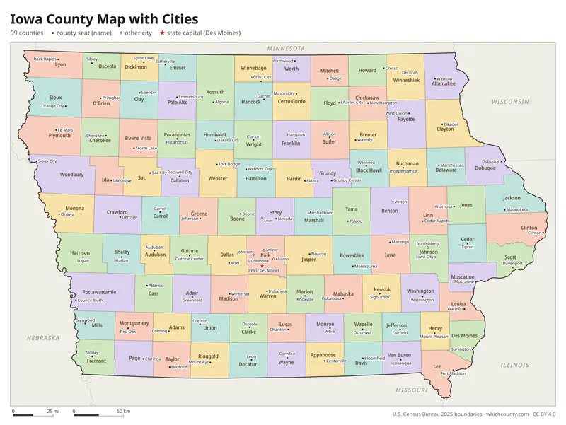
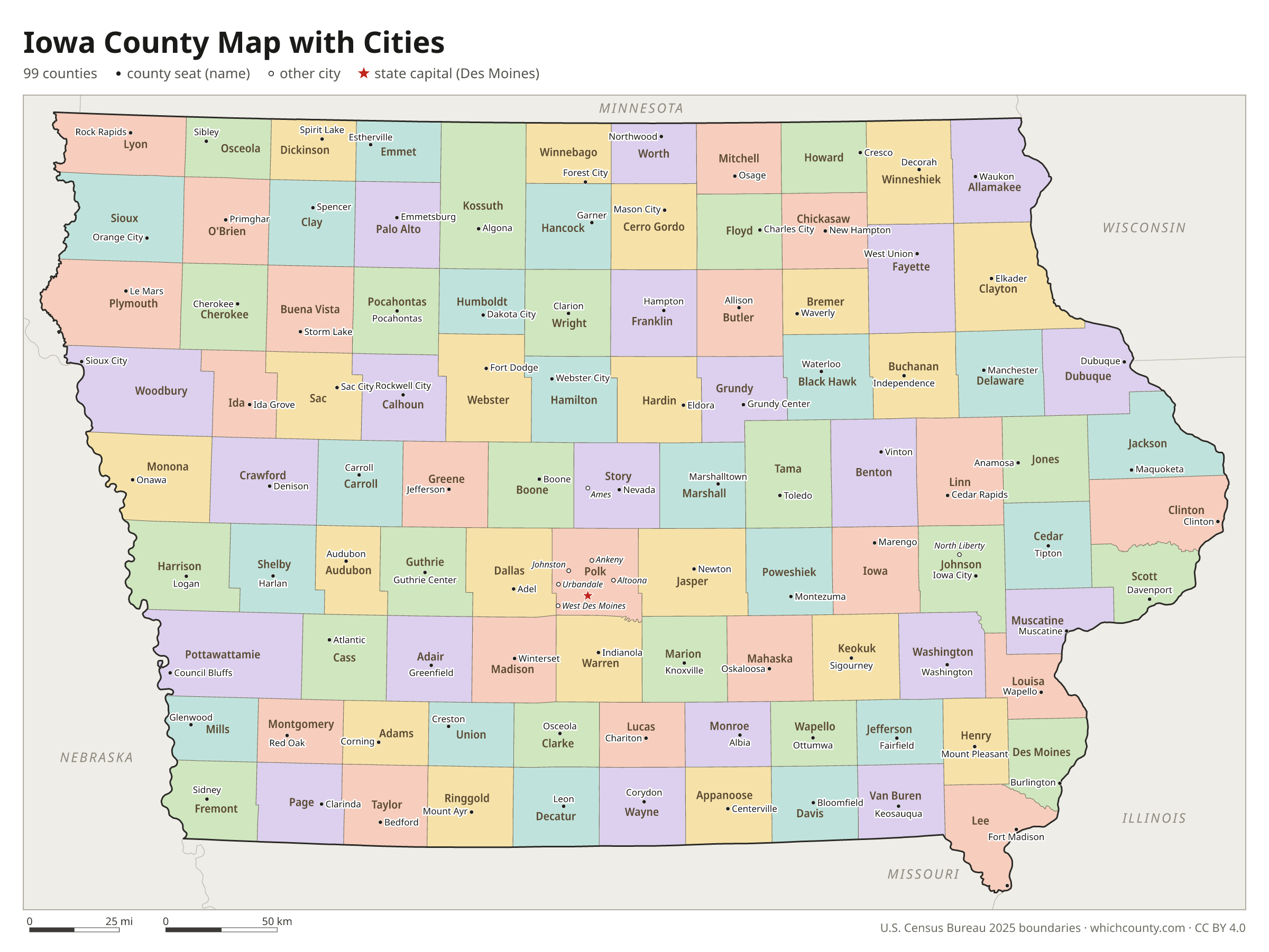
Iowa county map with cities
The largest cities in Iowa and the counties they are in. Cities that cross a county line list every county, the main one first. To find any smaller town, use the search box above.
| City | County | Population 2025 |
|---|---|---|
| Des Moines | Polk and Warren counties | 212,086 |
| Cedar Rapids | Linn County | 137,935 |
| Davenport | Scott County | 100,358 |
| Sioux City | Woodbury and Plymouth counties | 86,356 |
| Ankeny | Polk County | 77,833 |
| Iowa City | Johnson County | 76,229 |
| West Des Moines | Polk, Dallas, Warren and Madison counties | 74,224 |
| Ames | Story County | 68,220 |
| Waterloo | Black Hawk County | 66,919 |
| Council Bluffs | Pottawattamie County | 62,680 |
| Dubuque | Dubuque County | 59,148 |
| Urbandale | Polk and Dallas counties | 48,570 |
| Marion | Linn County | 42,732 |
| Cedar Falls | Black Hawk County | 41,240 |
| Bettendorf | Scott County | 40,710 |
| Waukee | Dallas County | 34,890 |
| Marshalltown | Marshall County | 27,536 |
| Mason City | Cerro Gordo County | 26,853 |
| Ottumwa | Wapello County | 25,319 |
| Johnston | Polk County | 25,065 |
| Fort Dodge | Webster County | 24,837 |
| Clinton | Clinton County | 24,049 |
| Coralville | Johnson County | 23,960 |
| Burlington | Des Moines County | 23,336 |
| Muscatine | Muscatine County | 23,164 |
| Altoona | Polk County | 22,796 |
| North Liberty | Johnson County | 21,976 |
| Clive | Polk and Dallas counties | 19,861 |
| Grimes | Polk and Dallas counties | 17,405 |
| Indianola | Warren County | 16,829 |
Printable Iowa county maps (free PDF, PNG, SVG)
Every map is free to print and share. The PDFs are vector files with real text, so they stay sharp at any size and you can search them for a county name. Use 11×17 (tabloid) for the most readable labels.
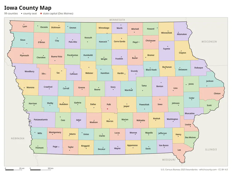
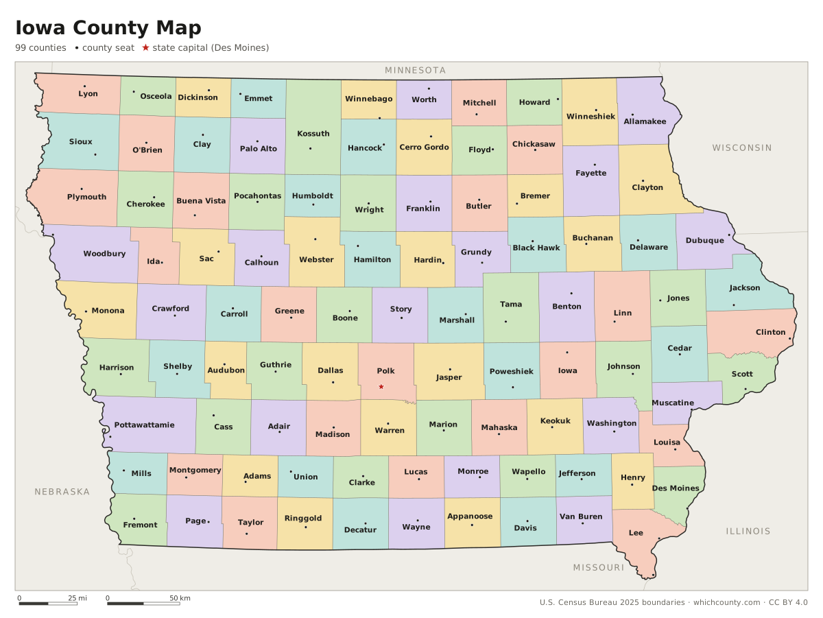
Color map with names
All 99 counties labeled, county seats marked. Letter and 11×17 PDF, high-resolution PNG, editable SVG.
Map with cities
Counties with their county seat towns and major cities.
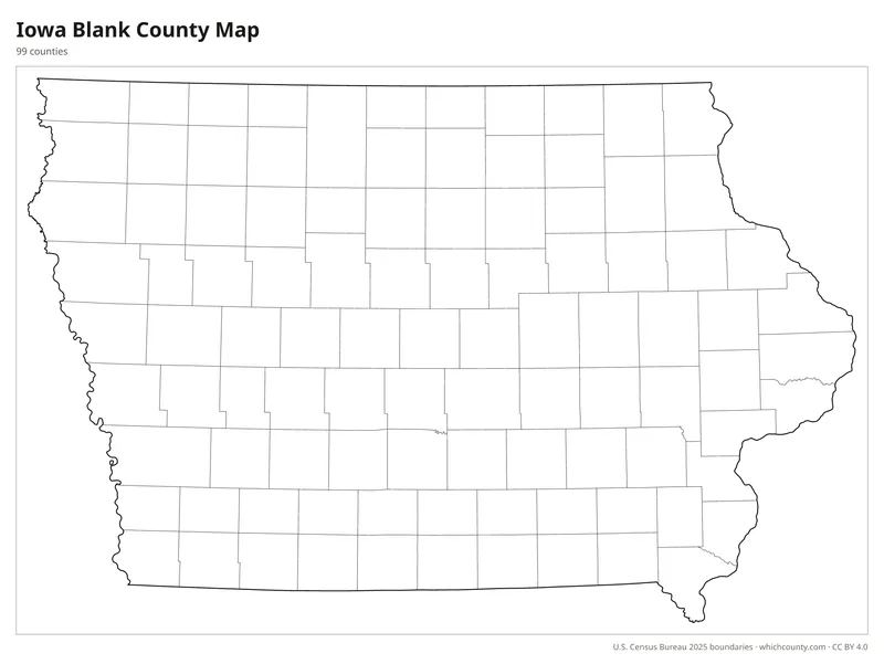
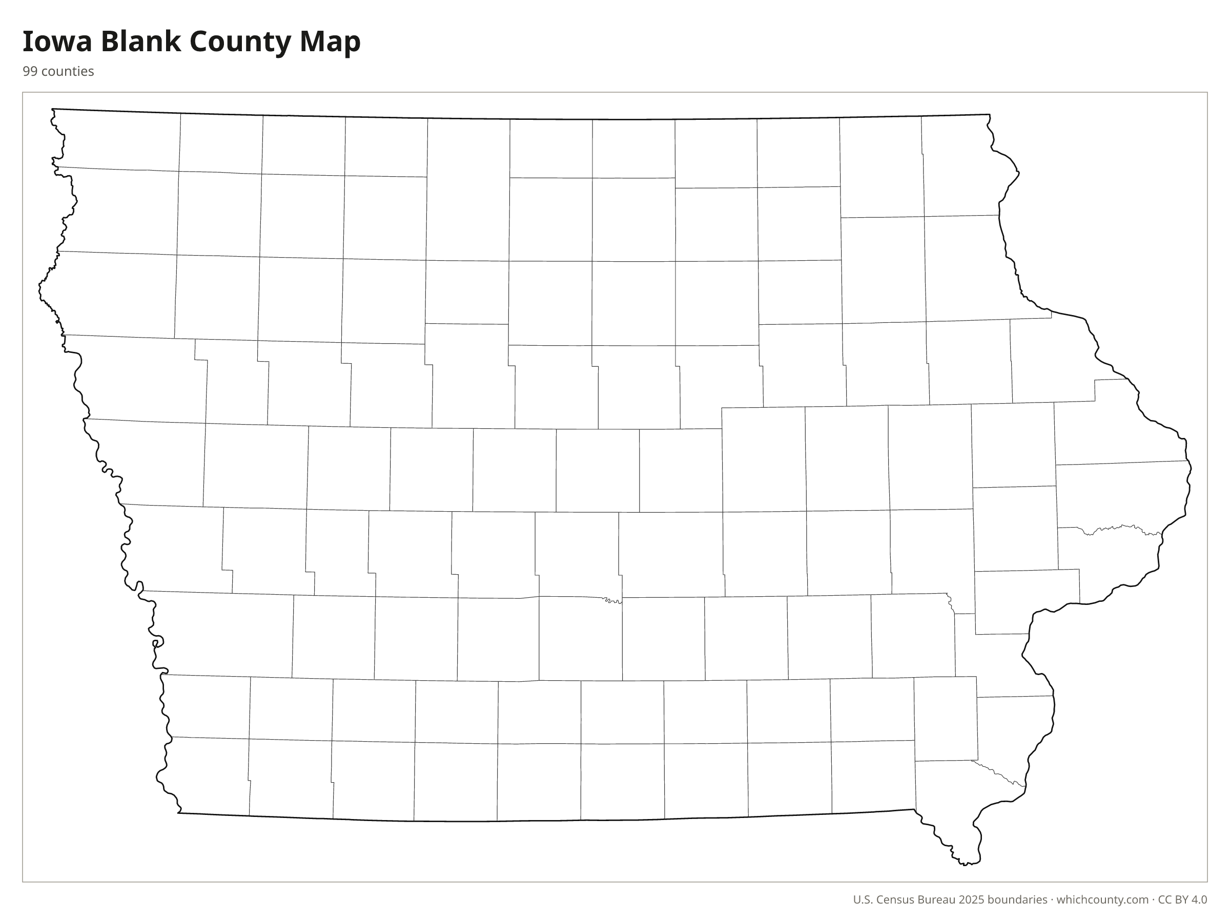
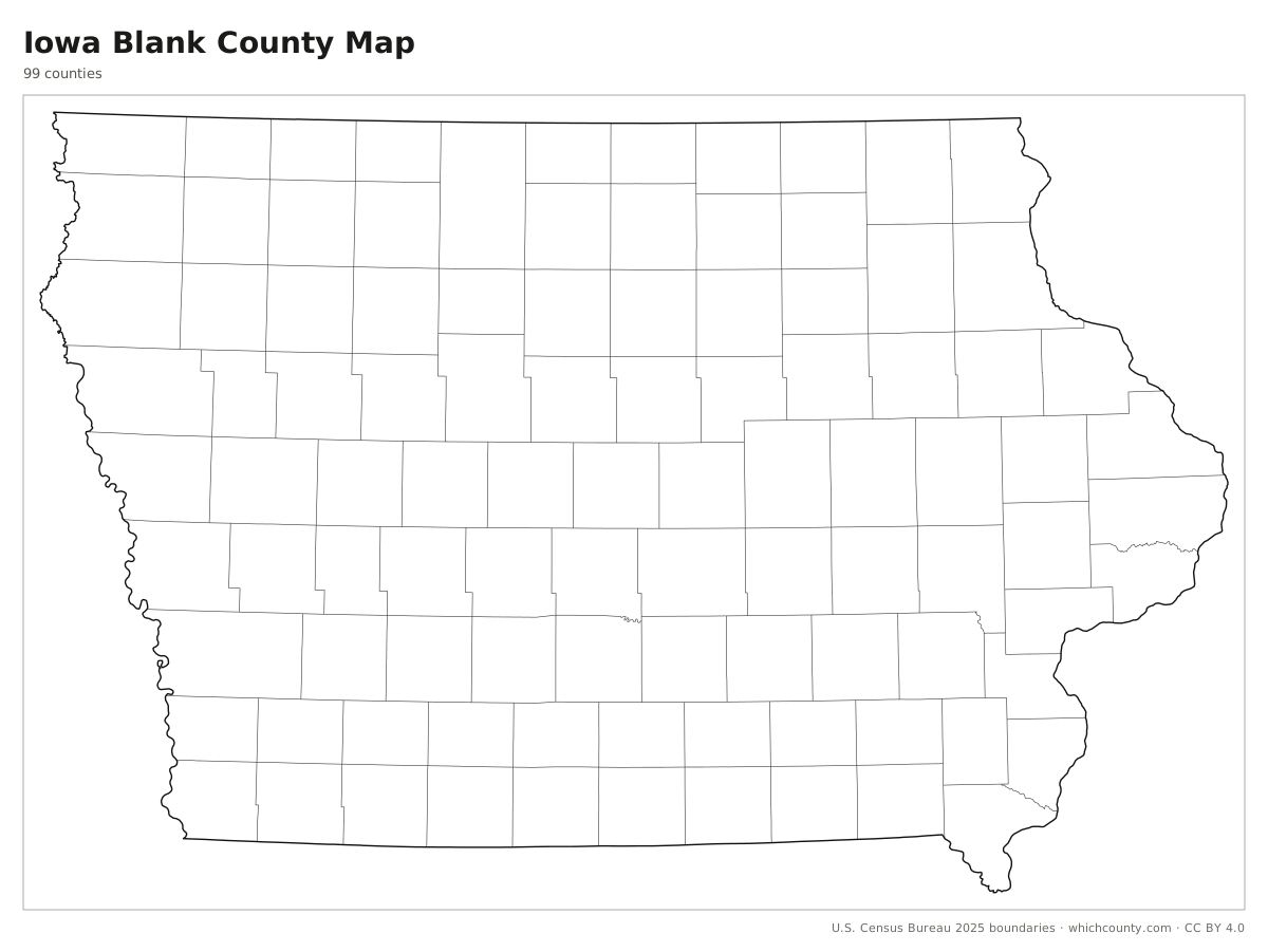
Blank outline map
County lines only, no names. For quizzes, coloring and your own notes.
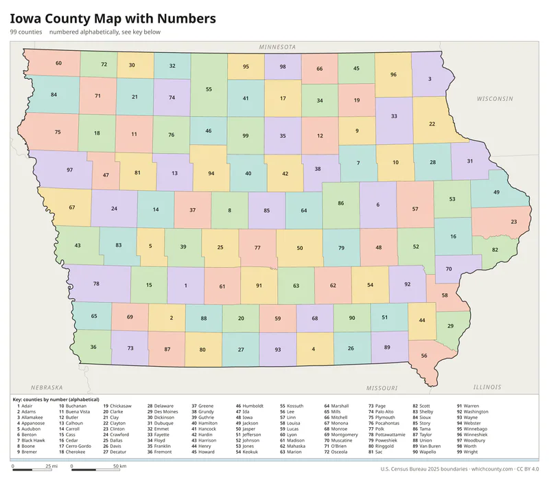
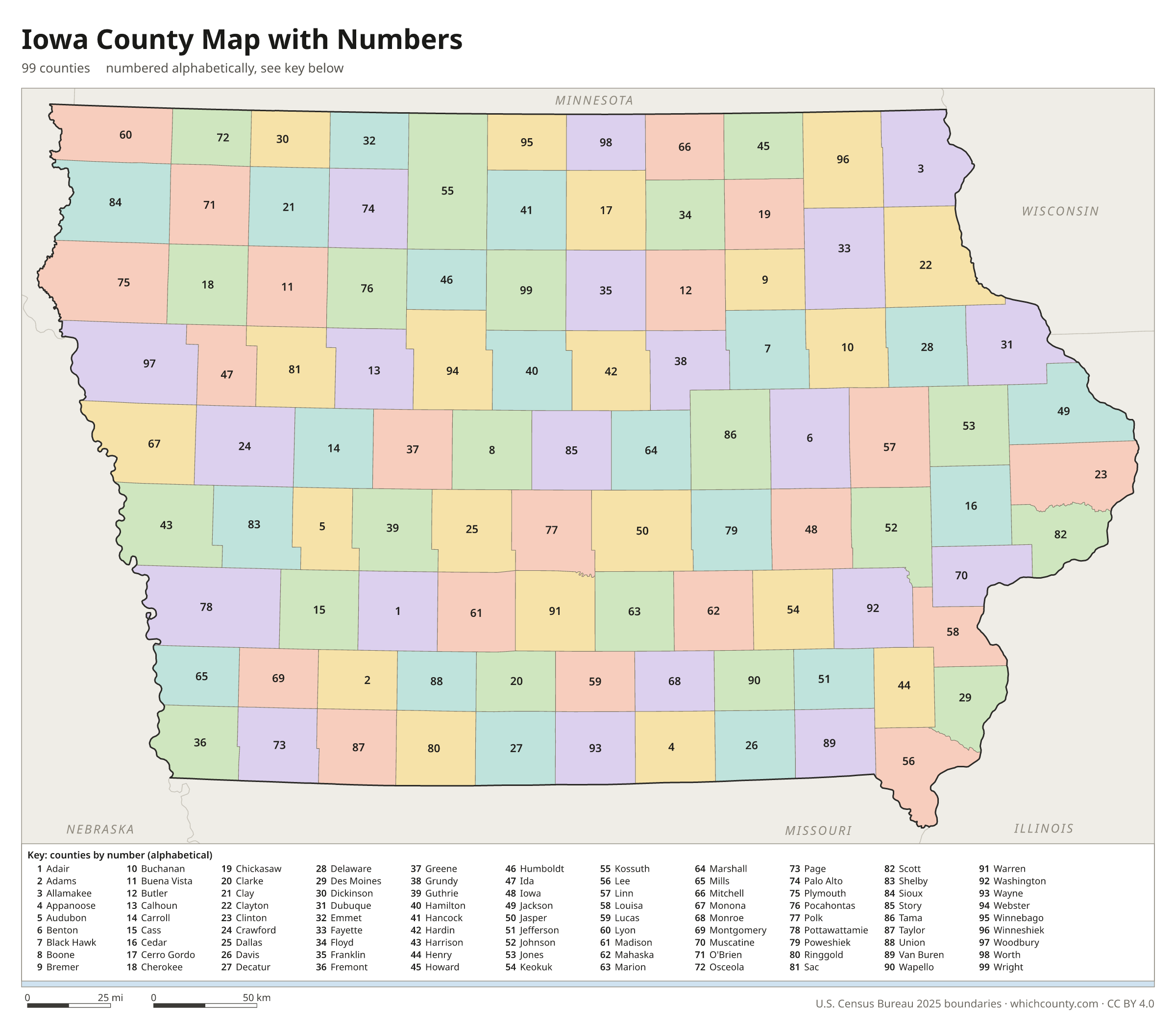
Numbered map with key
A number in every county with an alphabetical key.
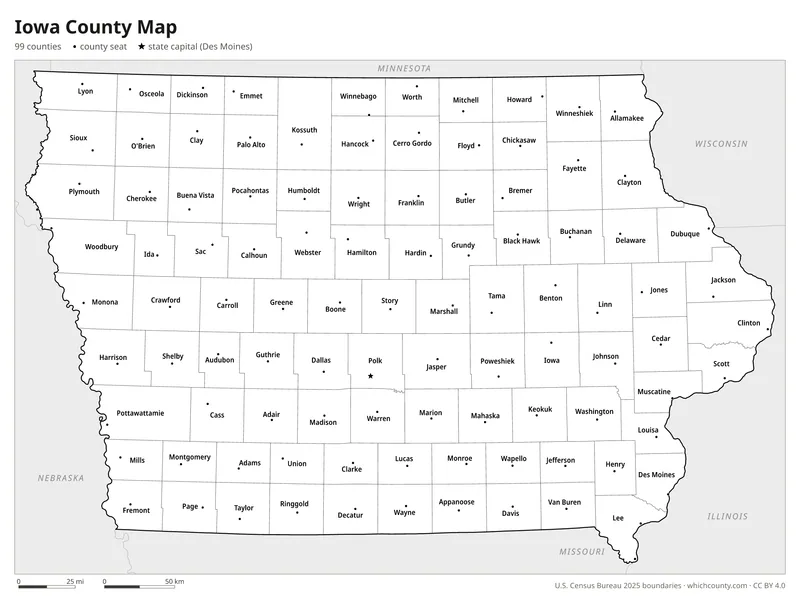
Black and white
Labeled map that prints well on any printer.
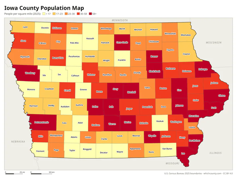
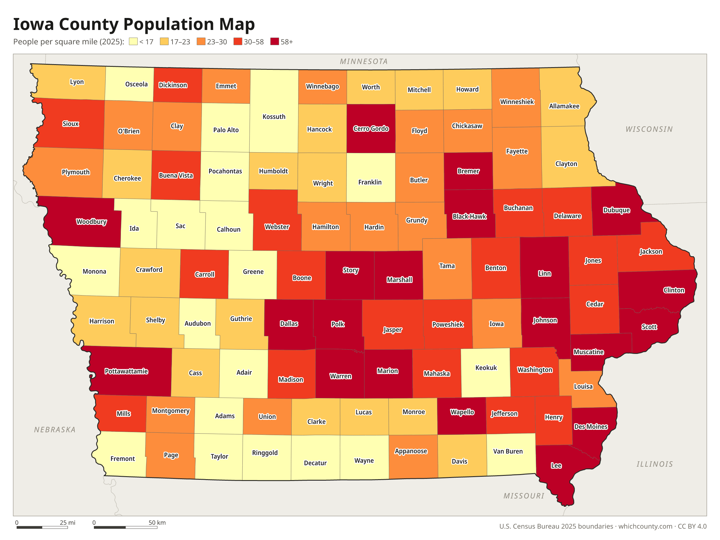
Population map
Counties shaded by population density (2025 estimates).
Data and GIS files
The county table as CSV, and the boundaries as GeoJSON and KML (Google Earth, Google My Maps).
How Iowa ended up with 99 counties
Iowa's county map began with two units. In 1834 Michigan Territory created Dubuque County in the north and Des Moines County in the south. Wisconsin Territory, which took over in 1836, carved new counties out of both: six from Des Moines in December 1836 and 13 from Dubuque a year later. Iowa's first state constitution, adopted in 1846, barred any new county smaller than 432 square miles. On January 15, 1851, a single act laid out most of the remaining counties in western and northern Iowa, many of them not yet organized. Lines and names kept moving for two decades. Humboldt County was abolished in 1855 and restored in 1857, and the state supreme court struck down Crocker County in 1871. When Lyon and Osceola organized in 1872, the 99-county map was complete. Later plans to split Pottawattamie and Kossuth counties failed in local referendums.
County maps of neighboring states
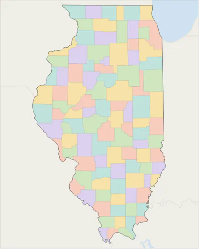 Illinois county map
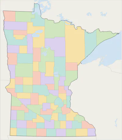 Minnesota county map
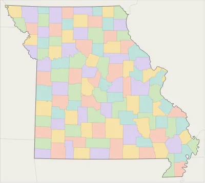 Missouri county map
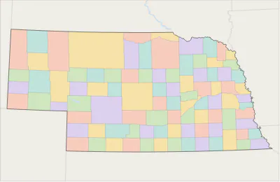 Nebraska county map
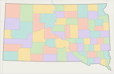 South Dakota county map
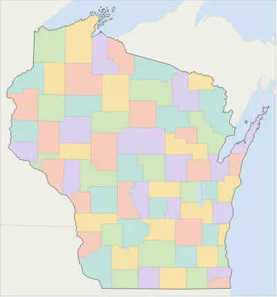 Wisconsin county map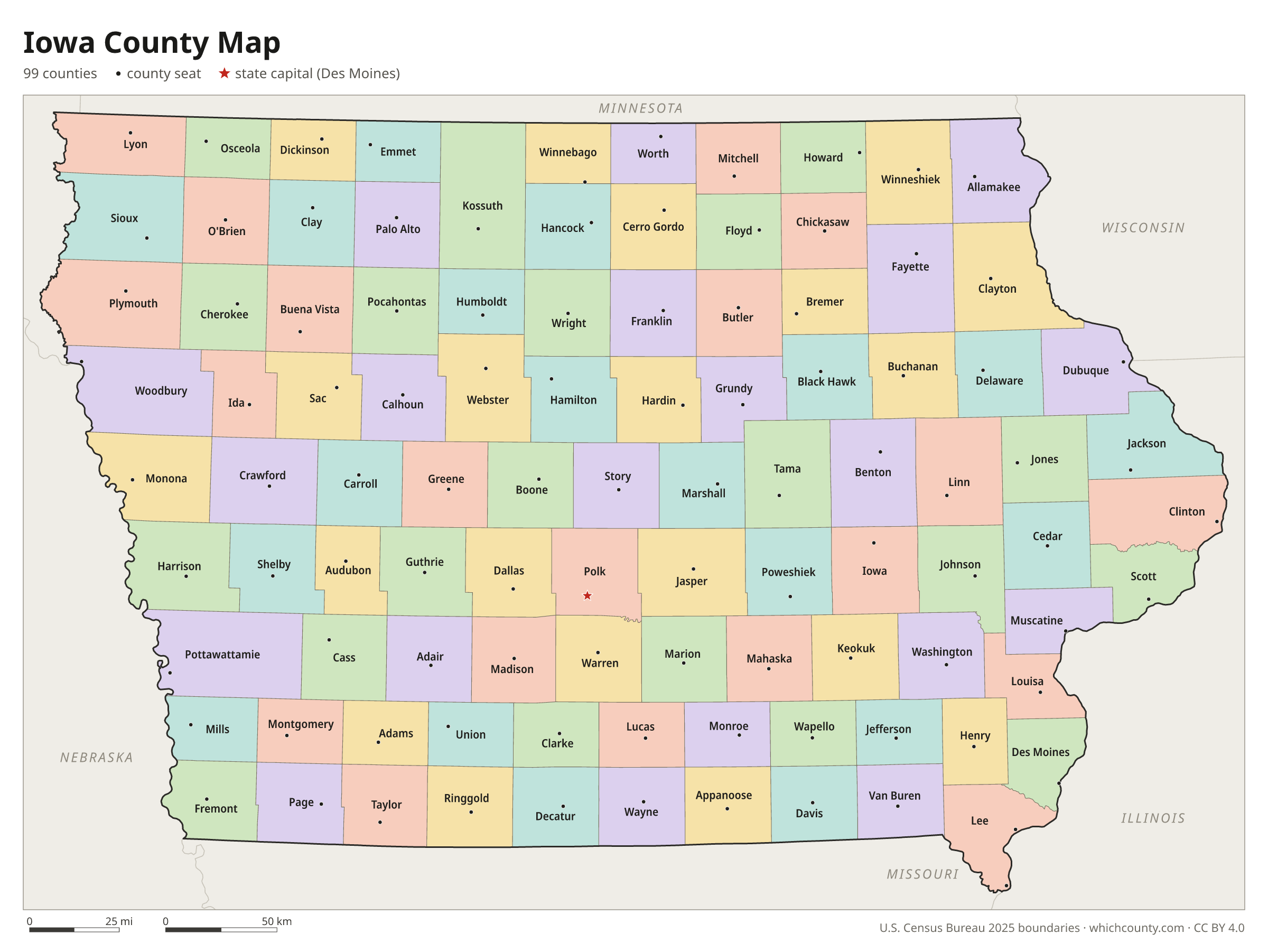
Iowa counties: questions and answers
- How many counties are in Iowa?
- Iowa has 99 counties.
- What is the largest county in Iowa?
- By land area, Kossuth County is the largest (973 sq mi). By population, Polk County is the largest, with 516,546 people (2025 estimate).
- What is the smallest county in Iowa?
- Dickinson County is the smallest by land area (380.5 sq mi). Adams County has the fewest people: 3,617 (2025 estimate).
- What is the wealthiest county in Iowa?
- By median household income, Dallas County ranks first with $102,379 (American Community Survey 2020–2024). The lowest is Appanoose County at $54,934.
- What county is Des Moines in?
- Des Moines is mostly in Polk County, with smaller parts in Warren County.
- What county is Cedar Rapids in?
- Cedar Rapids is in Linn County.
- What county is Davenport in?
- Davenport is in Scott County.
- How can I see county lines on Google Maps?
- Google Maps does not draw county lines. Download the KML file from the printable maps section above and import it into Google My Maps (Create a new map › Import) or open it in Google Earth to see every Iowa county boundary on top of Google's map.
- Can I use this map for free?
- Yes. The maps and files on this page are free to print, share and use in your own work, including commercial projects, under the CC BY 4.0 licence. Please credit “WhichCounty (whichcounty.com)”.
Use this map on your site
You may copy, print and publish these maps, also commercially, as long as you credit WhichCounty with a link (licence details). Paste this code to embed the map:
Sources and methodology
- Boundaries: U.S. Census Bureau, 2025 Cartographic Boundary Files (1:500,000), simplified for display. Projection: Lambert conformal conic fitted to Iowa.
- Population: Census Bureau county estimates, Vintage 2025 (July 1, 2025), compared with the April 1, 2020 estimates base.
- Land area: Census Bureau 2026 Gazetteer files. Median household income: American Community Survey 2020–2024 5-year estimates.
- County seats and founding years: Wikidata (CC0), checked against state lists by WhichCounty. Cities: Census Bureau city and town estimates, Vintage 2025.
- Constitution of the State of Iowa, 1846 (Iowa Legislature)
- Development of Iowa's 99 Counties, FIND Iowa (Iowa PBS)
- Atlas of Historical County Boundaries: Iowa (Newberry Library)
Found an error? Tell us. Last data update: October 4, 2026.