Utah County Map
All 29 counties with county seats and major cities
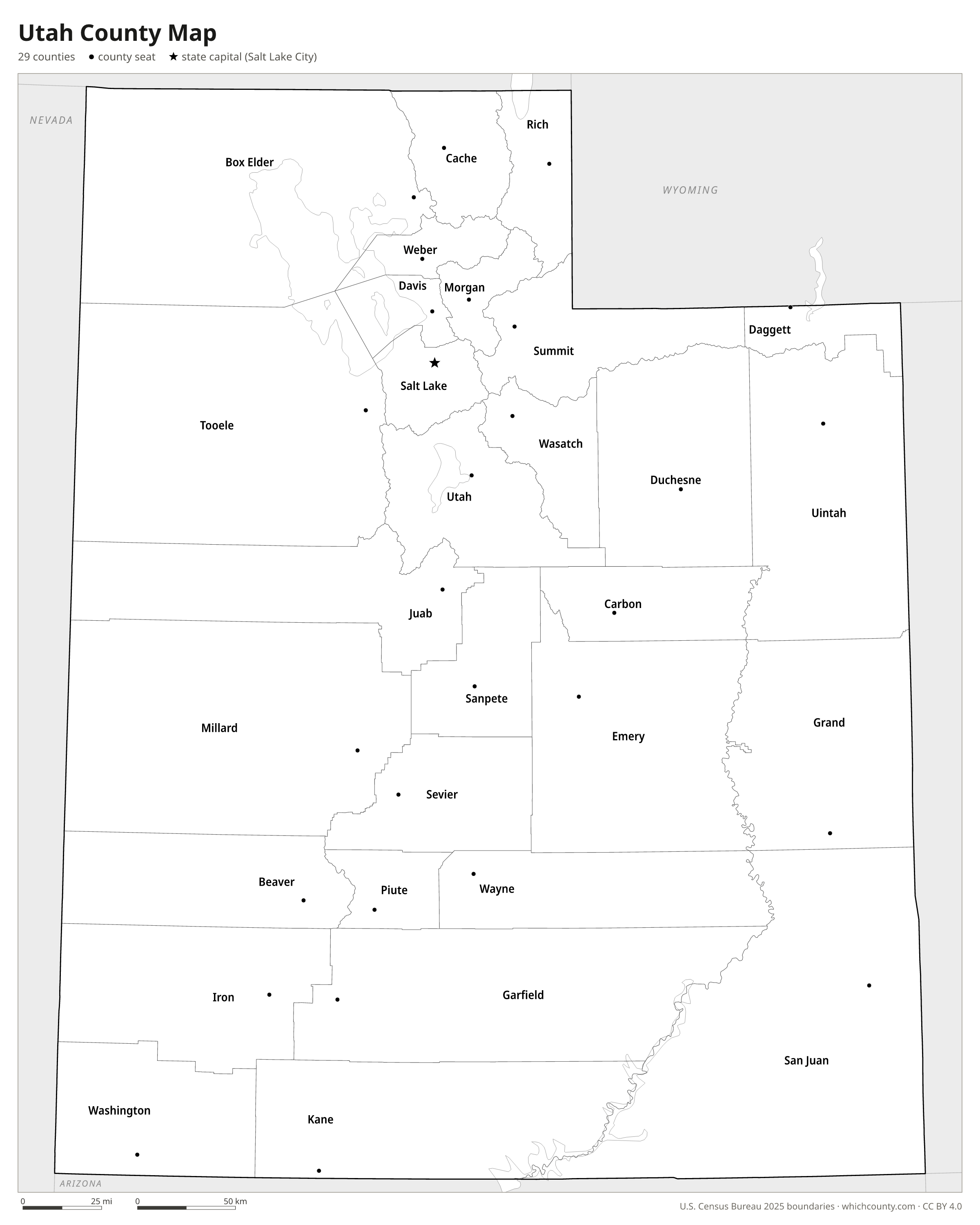
Utah has 29 counties, and the oldest of them were laid out by the State of Deseret before Utah Territory existed. This map shows all 29 counties and their county seats. Tap a county for details, or download the free printable map below.

Updated October 4, 2026 · Boundaries: U.S. Census Bureau 2025 · Population: Census estimates for July 1, 2025
Utah county facts
- Number of counties
- 29
- Largest by land area
- San Juan County 7,824 sq mi
- Smallest by land area
- Davis County 324.9 sq mi
- Most people
- Salt Lake County 1,220,916
- Fewest people
- Daggett County 934
- Fastest growing since 2020
- Tooele County +20.3%
- Highest median household income
- Summit County $138,114
- Oldest county
- Davis County est. 1850
- Newest county
- Daggett County est. 1918
- State capital
- Salt Lake City Salt Lake County
Salt Lake County was officially Great Salt Lake County, and Rich County was Richland County, until January 29, 1868.
Salt Lake County has no single founding charter: it rests on the 1850 Deseret ordinance, which the territorial legislature adopted with the rest of Deseret's laws on October 4, 1851.
List of 29 Utah counties
Sorted A–Z. Click a column to sort, or a name to show it on the map. Download as CSV
| County | County seat | Population 2025 | Change since 2020 | Land area (sq mi) | Median income | Established | FIPS |
|---|---|---|---|---|---|---|---|
| Beaver County | Beaver | 7,301 | +3.2% | 2,583 | $79,360 | 1856 | 49001 |
| Box Elder County | Brigham City | 65,320 | +13.3% | 5,781 | $84,550 | 1856 | 49003 |
| Cache County | Logan | 145,000 | +8.9% | 1,165 | $81,665 | 1857 | 49005 |
| Carbon County | Price | 20,680 | +1.3% | 1,479 | $58,377 | 1894 | 49007 |
| Daggett County | Manila | 934 | −0.2% | 697 | $66,000 | 1918 | 49009 |
| Davis County | Farmington | 381,227 | +5.1% | 325 | $110,884 | 1850 | 49011 |
| Duchesne County | Duchesne | 20,856 | +6.4% | 3,236 | $78,445 | 1915 | 49013 |
| Emery County | Castle Dale | 10,177 | +3.6% | 4,463 | $74,291 | 1880 | 49015 |
| Garfield County | Panguitch | 5,256 | +3.3% | 5,180 | $61,875 | 1882 | 49017 |
| Grand County | Moab | 9,790 | +1.2% | 3,673 | $67,106 | 1890 | 49019 |
| Iron County | Parowan | 67,141 | +17.2% | 3,296 | $66,247 | 1850 | 49021 |
| Juab County | Nephi | 13,567 | +15.2% | 3,392 | $101,786 | 1852 | 49023 |
| Kane County | Kanab | 8,597 | +12.1% | 3,994 | $77,092 | 1864 | 49025 |
| Millard County | Fillmore | 14,057 | +8.3% | 6,786 | $73,639 | 1851 | 49027 |
| Morgan County | Morgan | 13,383 | +8.8% | 609 | $130,929 | 1862 | 49029 |
| Piute County | Junction | 1,509 | +4.5% | 758 | $48,393 | 1865 | 49031 |
| Rich County | Randolph | 2,687 | +7% | 1,029 | $79,009 | 1864 | 49033 |
| Salt Lake County | Salt Lake City | 1,220,916 | +3% | 753 | $97,494 | 1850 | 49035 |
| San Juan County | Monticello | 14,542 | +0.2% | 7,824 | $64,481 | 1880 | 49037 |
| Sanpete County | Manti | 31,453 | +10.6% | 1,590 | $70,083 | 1850 | 49039 |
| Sevier County | Richfield | 22,827 | +6.1% | 1,911 | $74,884 | 1865 | 49041 |
| Summit County | Coalville | 43,141 | +1.9% | 1,871 | $138,114 | 1854 | 49043 |
| Tooele County | Tooele | 87,461 | +20.3% | 7,040 | $106,587 | 1850 | 49045 |
| Uintah County | Vernal | 38,278 | +7.5% | 4,483 | $73,746 | 1880 | 49047 |
| Utah County | Provo | 759,859 | +15.2% | 2,005 | $100,671 | 1850 | 49049 |
| Wasatch County | Heber City | 38,514 | +10.7% | 1,177 | $117,608 | 1862 | 49051 |
| Washington County | St. George | 213,670 | +18.5% | 2,428 | $80,632 | 1852 | 49053 |
| Wayne County | Loa | 2,587 | +4% | 2,461 | $76,607 | 1892 | 49055 |
| Weber County | Ogden | 278,174 | +6.1% | 611 | $90,005 | 1850 | 49057 |
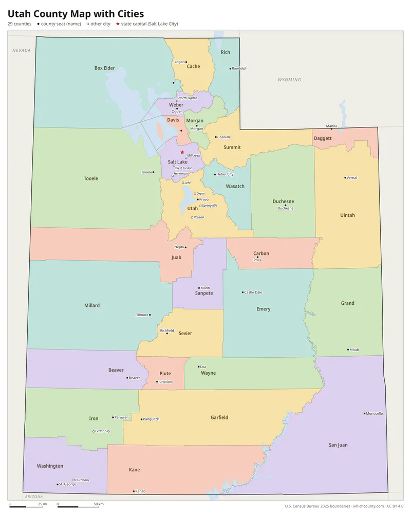
Utah county map with cities
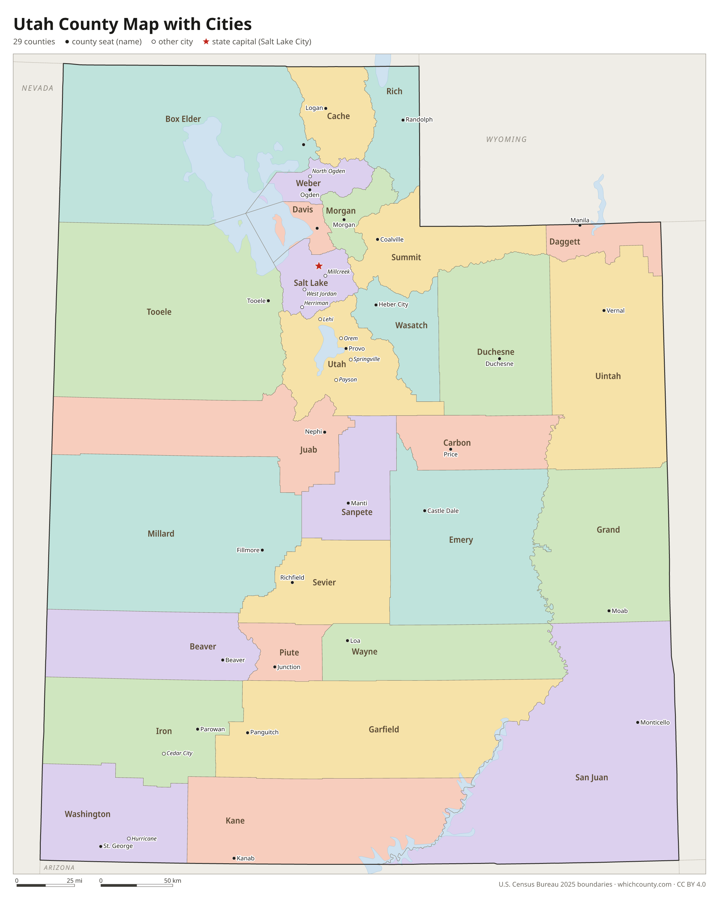
The largest cities in Utah and the counties they are in. Cities that cross a county line list every county, the main one first. To find any smaller town, use the search box above.
| City | County | Population 2025 |
|---|---|---|
| Salt Lake City | Salt Lake County | 218,428 |
| West Valley City | Salt Lake County | 137,491 |
| West Jordan | Salt Lake County | 116,812 |
| Provo | Utah County | 114,527 |
| St. George | Washington County | 108,713 |
| Lehi | Utah County | 95,313 |
| Orem | Utah County | 95,214 |
| Sandy | Salt Lake County | 92,386 |
| Ogden | Weber County | 89,510 |
| South Jordan | Salt Lake County | 87,614 |
| Layton | Davis County | 85,308 |
| Eagle Mountain | Utah County | 66,557 |
| Millcreek | Salt Lake County | 63,926 |
| Herriman | Salt Lake County | 63,282 |
| Saratoga Springs | Utah County | 61,397 |
| Taylorsville | Salt Lake County | 57,484 |
| Logan | Cache County | 55,576 |
| Murray | Salt Lake County | 53,297 |
| Draper | Salt Lake and Utah counties | 50,652 |
| Spanish Fork | Utah County | 48,837 |
| Riverton | Salt Lake County | 47,395 |
| Bountiful | Davis County | 44,988 |
| Tooele | Tooele County | 42,270 |
| Cedar City | Iron County | 41,871 |
| American Fork | Utah County | 41,020 |
| Syracuse | Davis County | 39,909 |
| Roy | Weber County | 38,794 |
| Pleasant Grove | Utah County | 37,773 |
| Washington | Washington County | 37,107 |
| Midvale | Salt Lake County | 36,099 |
Printable Utah county maps (free PDF, PNG, SVG)
Every map is free to print and share. The PDFs are vector files with real text, so they stay sharp at any size and you can search them for a county name. Use 11×17 (tabloid) for the most readable labels.
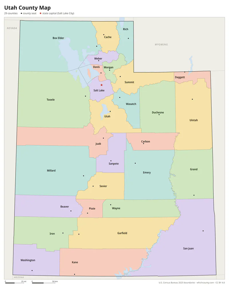
Color map with names
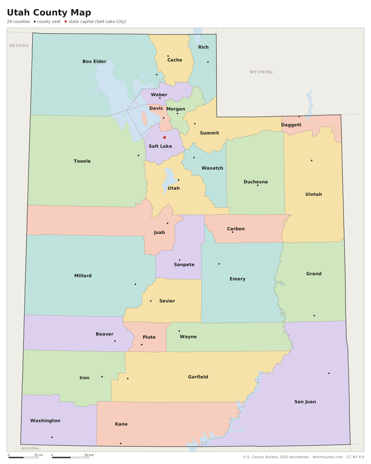
All 29 counties labeled, county seats marked. Letter and 11×17 PDF, high-resolution PNG, editable SVG.
Map with cities
Counties with their county seat towns and major cities.
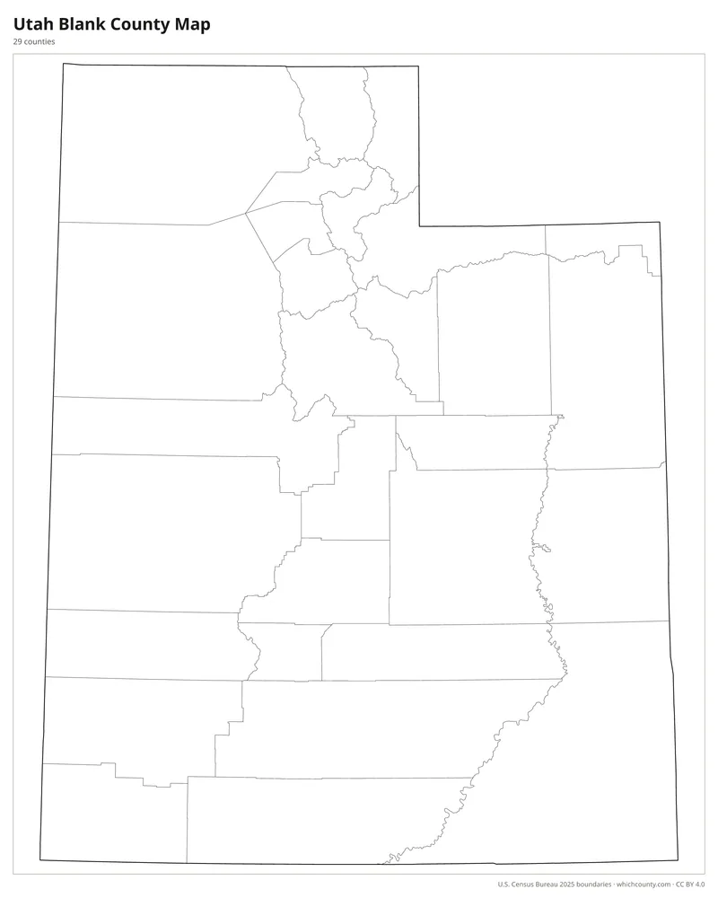
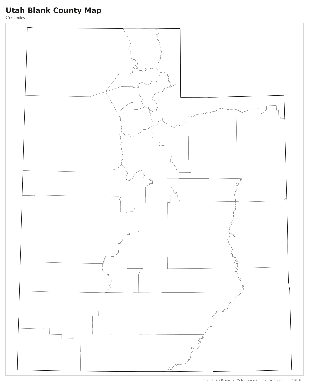
Blank outline map
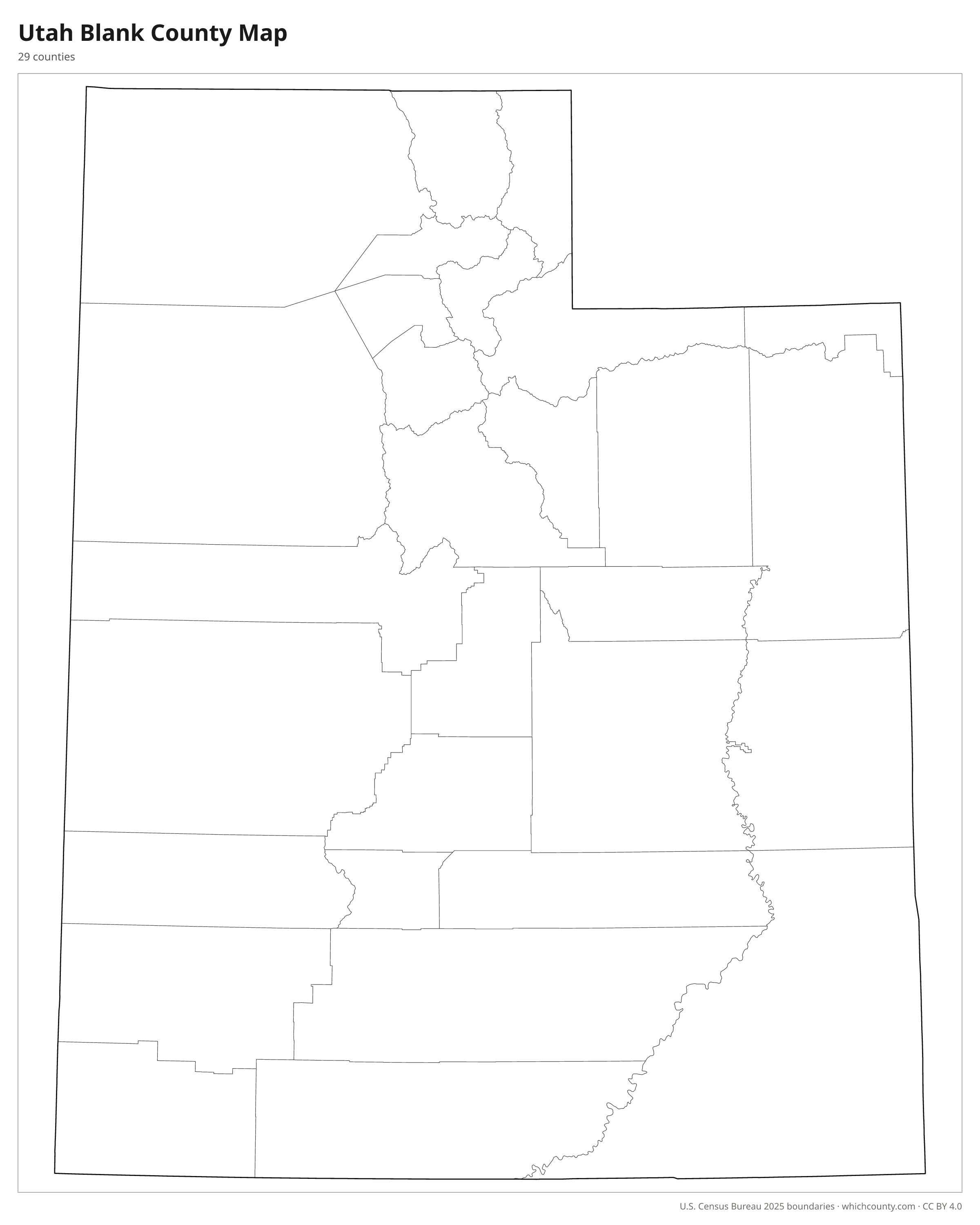
County lines only, no names. For quizzes, coloring and your own notes.
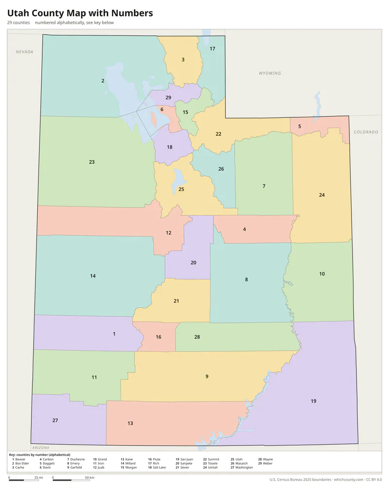
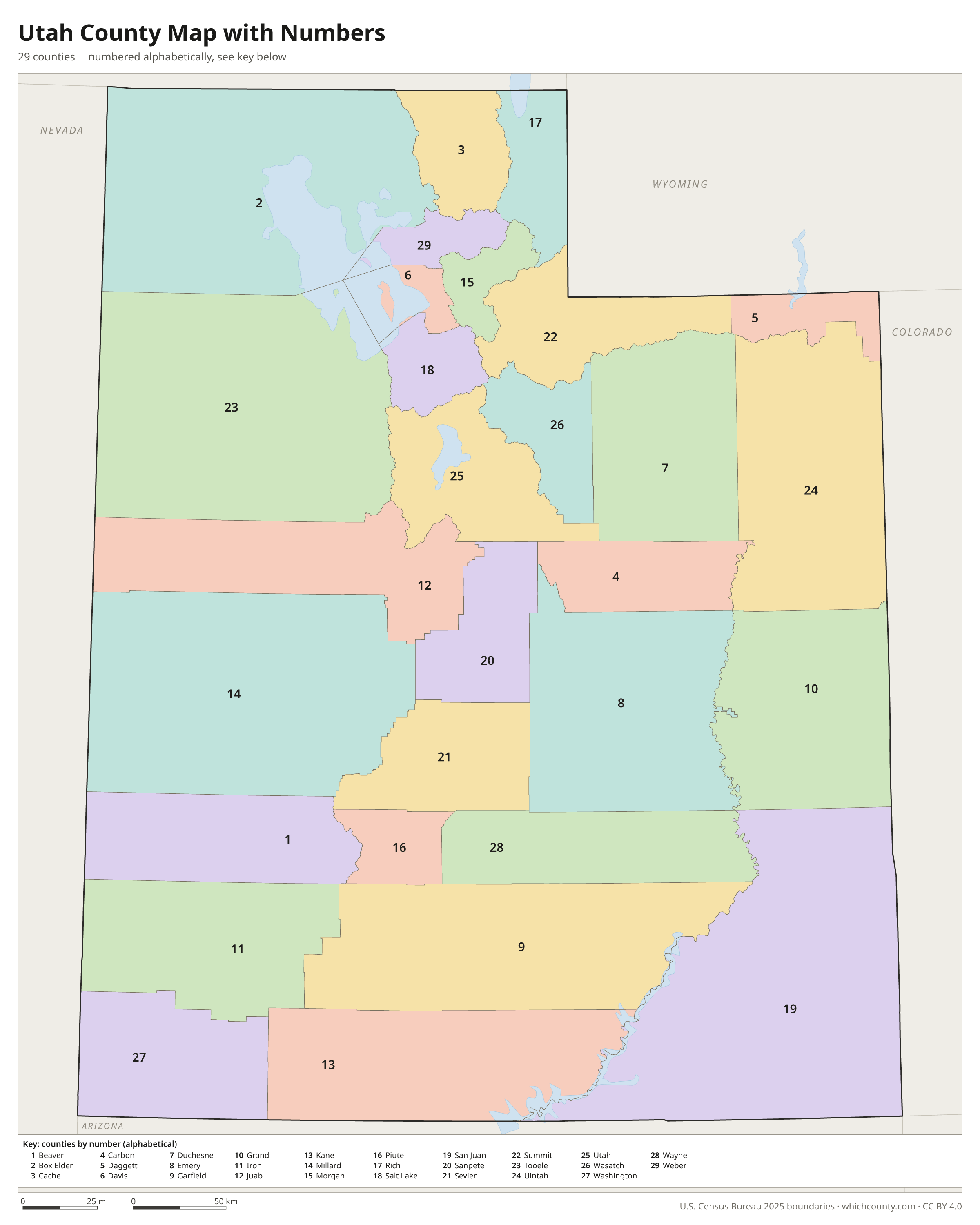
Numbered map with key
A number in every county with an alphabetical key.
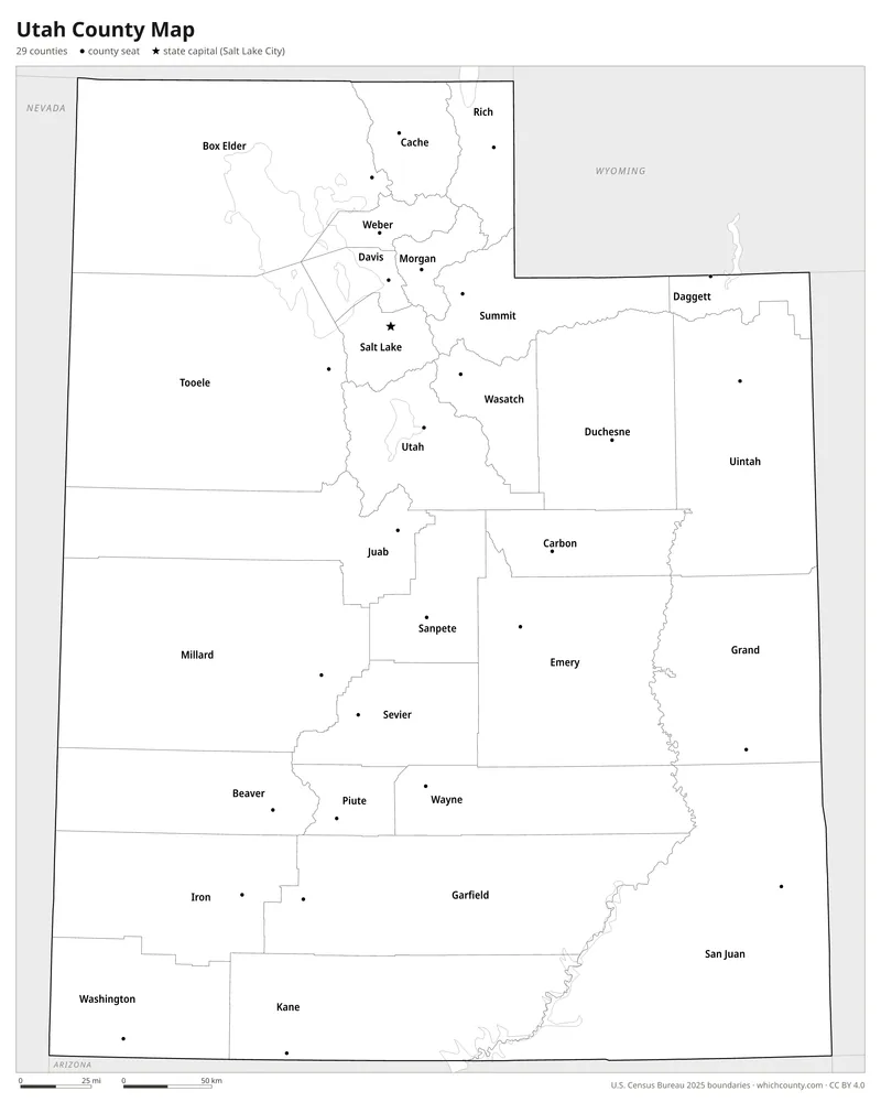
Black and white
Labeled map that prints well on any printer.
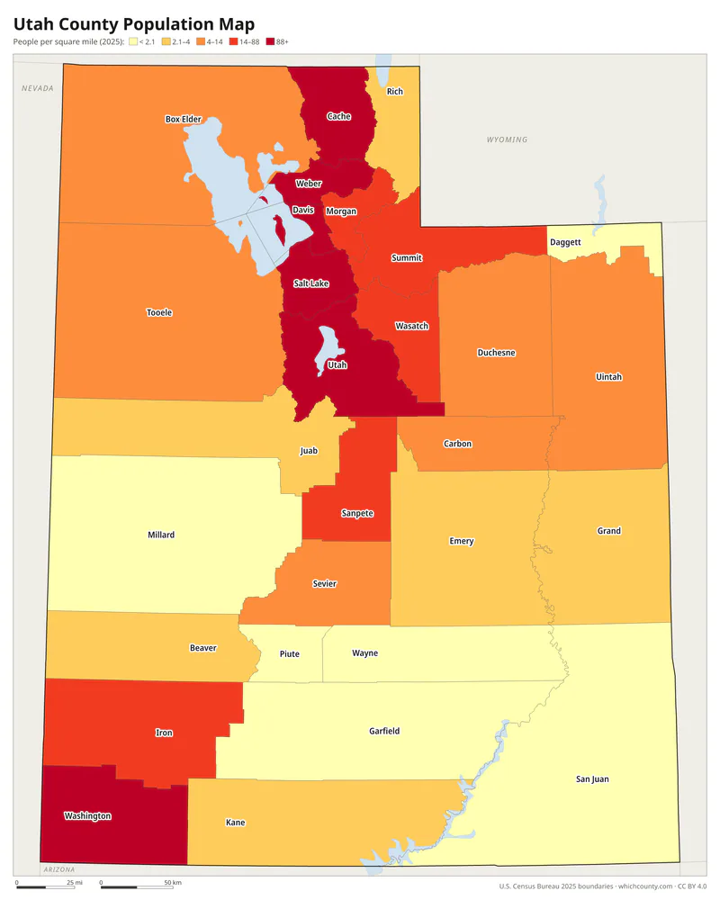
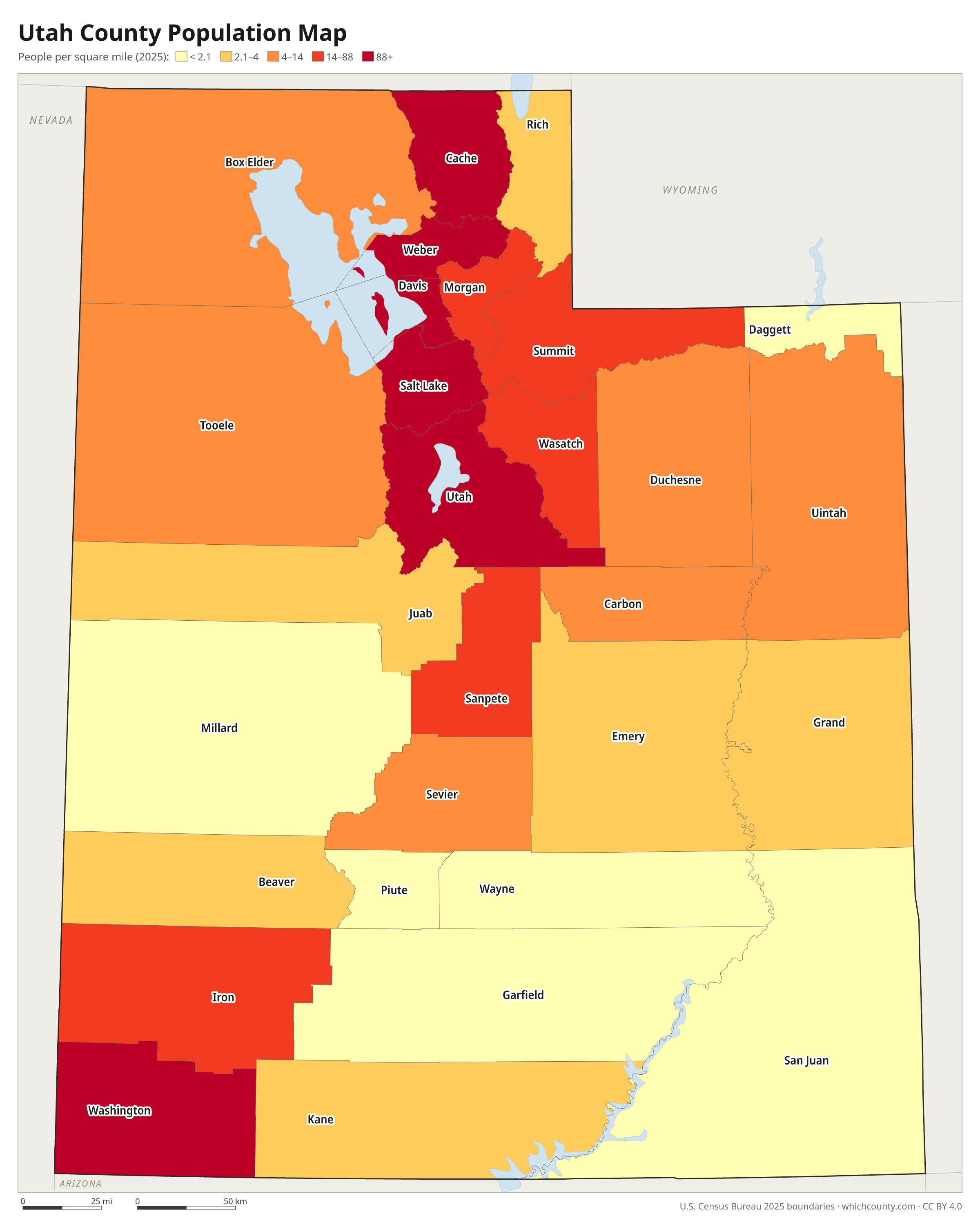
Population map
Counties shaded by population density (2025 estimates).
Data and GIS files
The county table as CSV, and the boundaries as GeoJSON and KML (Google Earth, Google My Maps).
Where Utah's 29 counties come from
Utah's counties began under the State of Deseret, the provisional government of the Mormon settlers, before Utah Territory existed. On January 31, 1850, its legislature passed an ordinance locating counties near the Great Salt Lake. Utah Territory's first legislature, which met from September 1851 to March 1852, formally re-created them and added new ones. Boundaries changed often, as land first in Utah Territory went to form counties in Nevada, Idaho and other territories. Ten former counties no longer exist. Carson, Humboldt and St. Mary's ended up in Nevada, and Shambip, Greasewood and Cedar were absorbed by neighbors in 1862. After 1913, new counties were created by popular election and a governor's proclamation, not by statute. Duchesne in 1915 and Daggett in 1918 came about this way. The state constitution also limits boundary changes: apart from minor adjustments, land can move between counties only if voters in both approve.
County maps of neighboring states
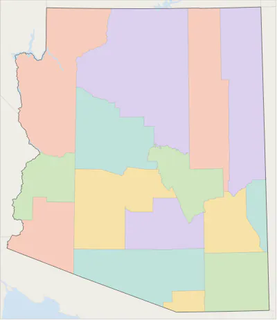 Arizona county map
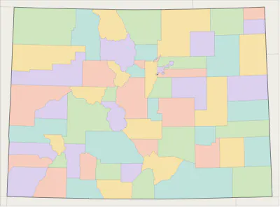 Colorado county map
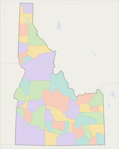 Idaho county map
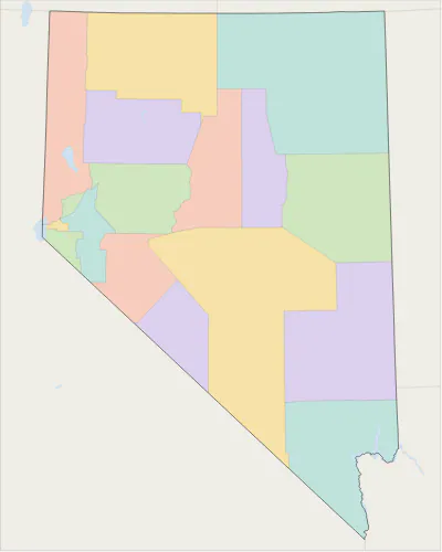 Nevada county map
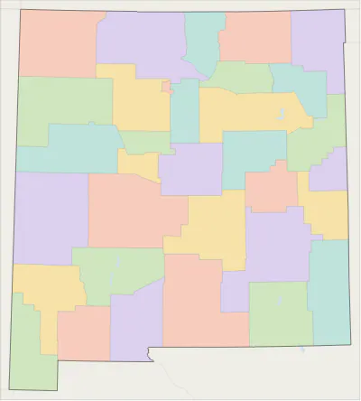 New Mexico county map
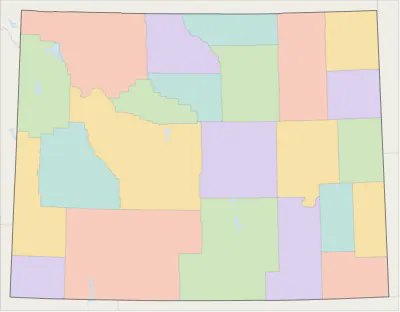 Wyoming county map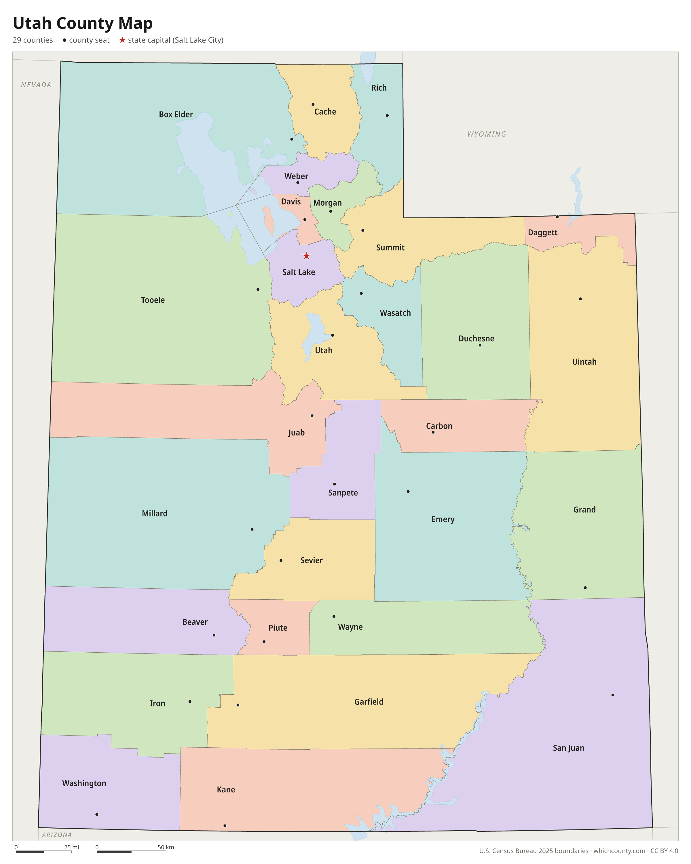
Utah counties: questions and answers
- How many counties are in Utah?
- Utah has 29 counties.
- What is the largest county in Utah?
- By land area, San Juan County is the largest (7,824 sq mi). By population, Salt Lake County is the largest, with 1,220,916 people (2025 estimate).
- What is the smallest county in Utah?
- Davis County is the smallest by land area (324.9 sq mi). Daggett County has the fewest people: 934 (2025 estimate).
- What is the wealthiest county in Utah?
- By median household income, Summit County ranks first with $138,114 (American Community Survey 2020–2024). The lowest is Piute County at $48,393.
- What county is Salt Lake City in?
- Salt Lake City is in Salt Lake County.
- What county is West Valley City in?
- West Valley City is in Salt Lake County.
- What county is West Jordan in?
- West Jordan is in Salt Lake County.
- How can I see county lines on Google Maps?
- Google Maps does not draw county lines. Download the KML file from the printable maps section above and import it into Google My Maps (Create a new map › Import) or open it in Google Earth to see every Utah county boundary on top of Google's map.
- Can I use this map for free?
- Yes. The maps and files on this page are free to print, share and use in your own work, including commercial projects, under the CC BY 4.0 licence. Please credit “WhichCounty (whichcounty.com)”.
Use this map on your site
You may copy, print and publish these maps, also commercially, as long as you credit WhichCounty with a link (licence details). Paste this code to embed the map:
Sources and methodology
- Boundaries: U.S. Census Bureau, 2025 Cartographic Boundary Files (1:500,000), simplified for display. Projection: Lambert conformal conic fitted to Utah.
- Population: Census Bureau county estimates, Vintage 2025 (July 1, 2025), compared with the April 1, 2020 estimates base.
- Land area: Census Bureau 2026 Gazetteer files. Median household income: American Community Survey 2020–2024 5-year estimates.
- County seats and founding years: Wikidata (CC0), checked against state lists by WhichCounty. Cities: Census Bureau city and town estimates, Vintage 2025.
- County Formation (Utah Division of Archives and Records Service)
- Creation of Salt Lake County by the State of Deseret, 1850 (Salt Lake County Archives)
- Utah Constitution, Article XI, Section 3 (Utah State Legislature)
- Flaming Gorge History (Daggett County)
- Atlas of Historical County Boundaries: Utah (Newberry Library)
Found an error? Tell us. Last data update: October 4, 2026.