Connecticut County Map
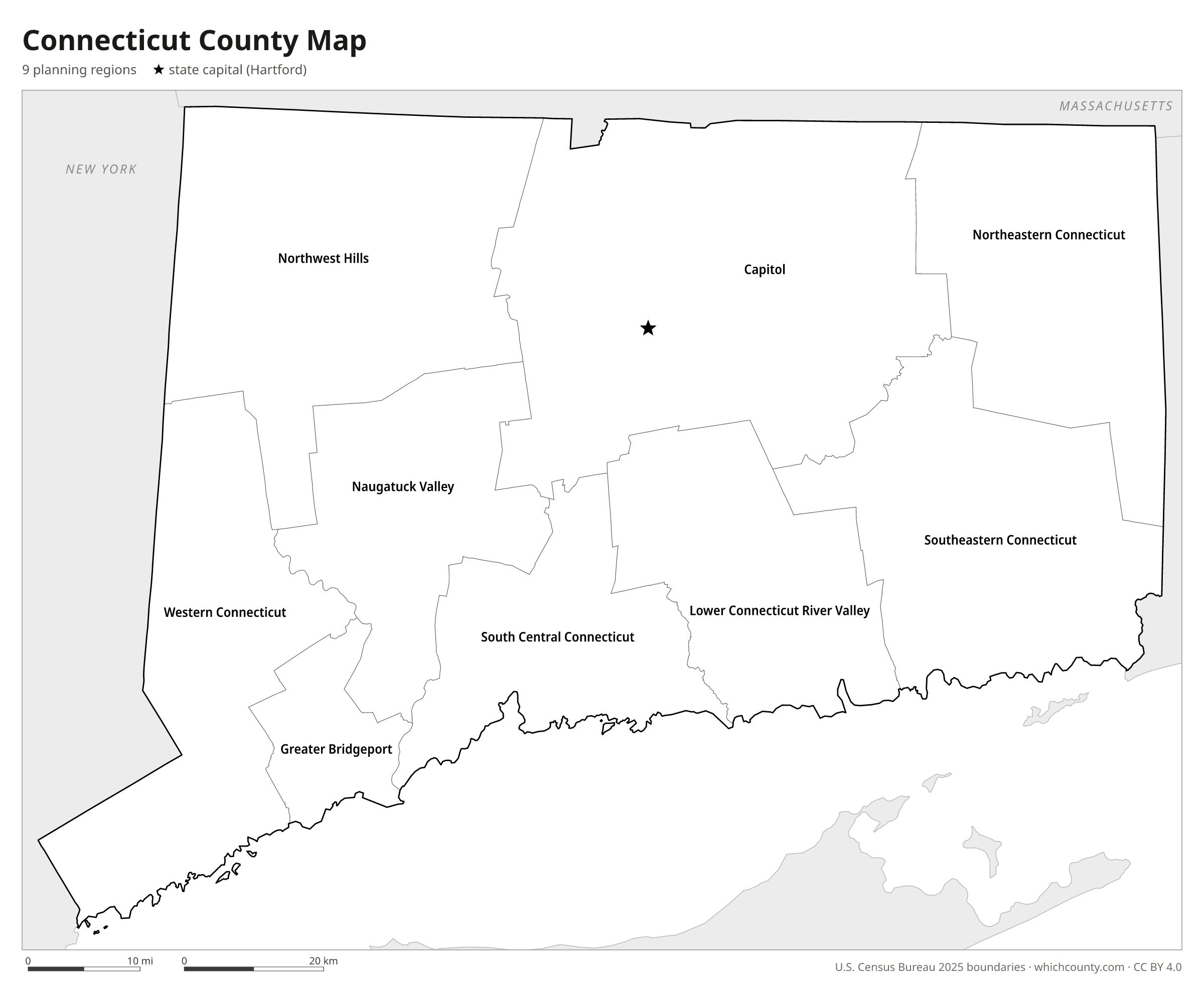
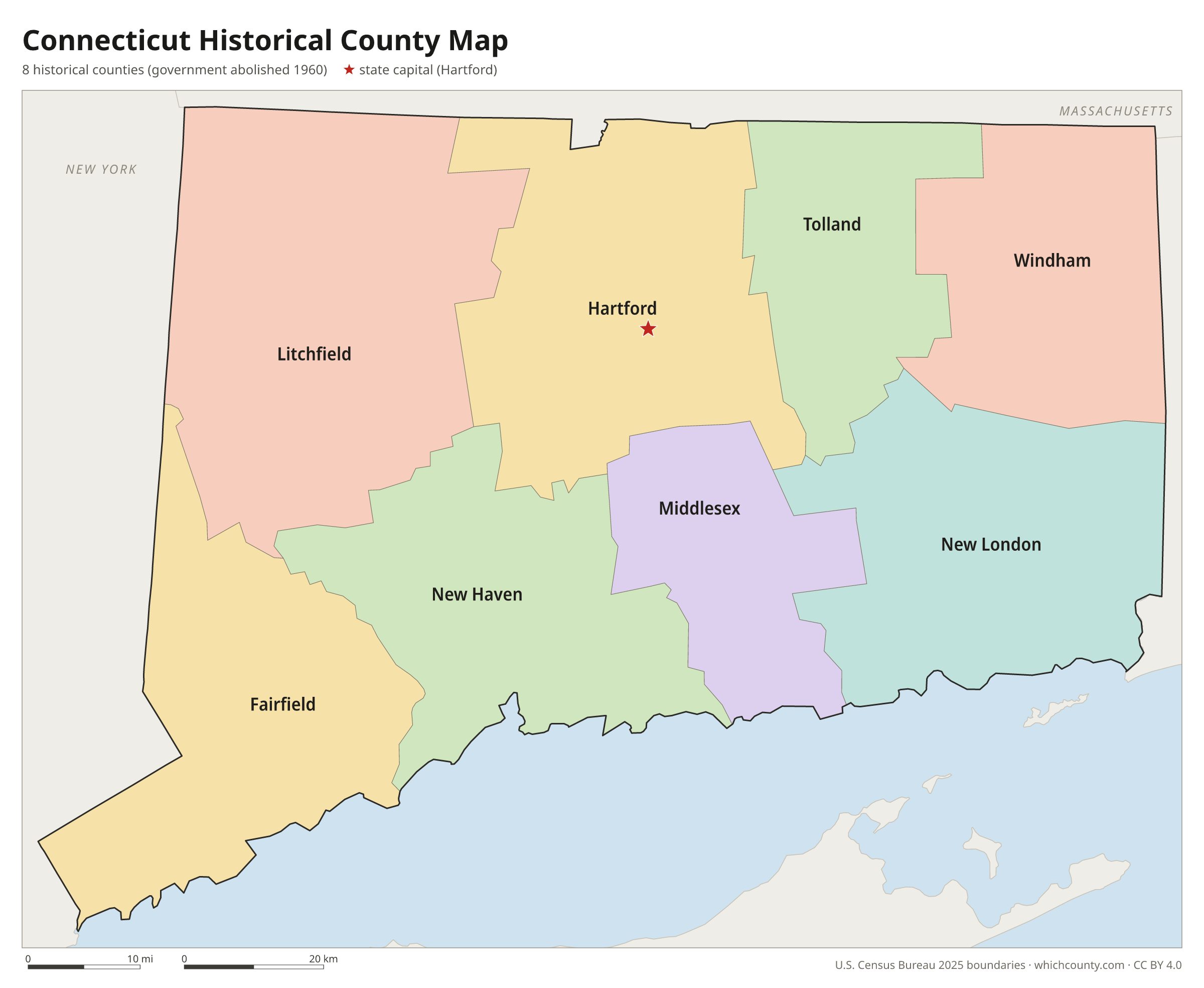
The 8 historic counties and the 9 planning regions that replaced them in Census data
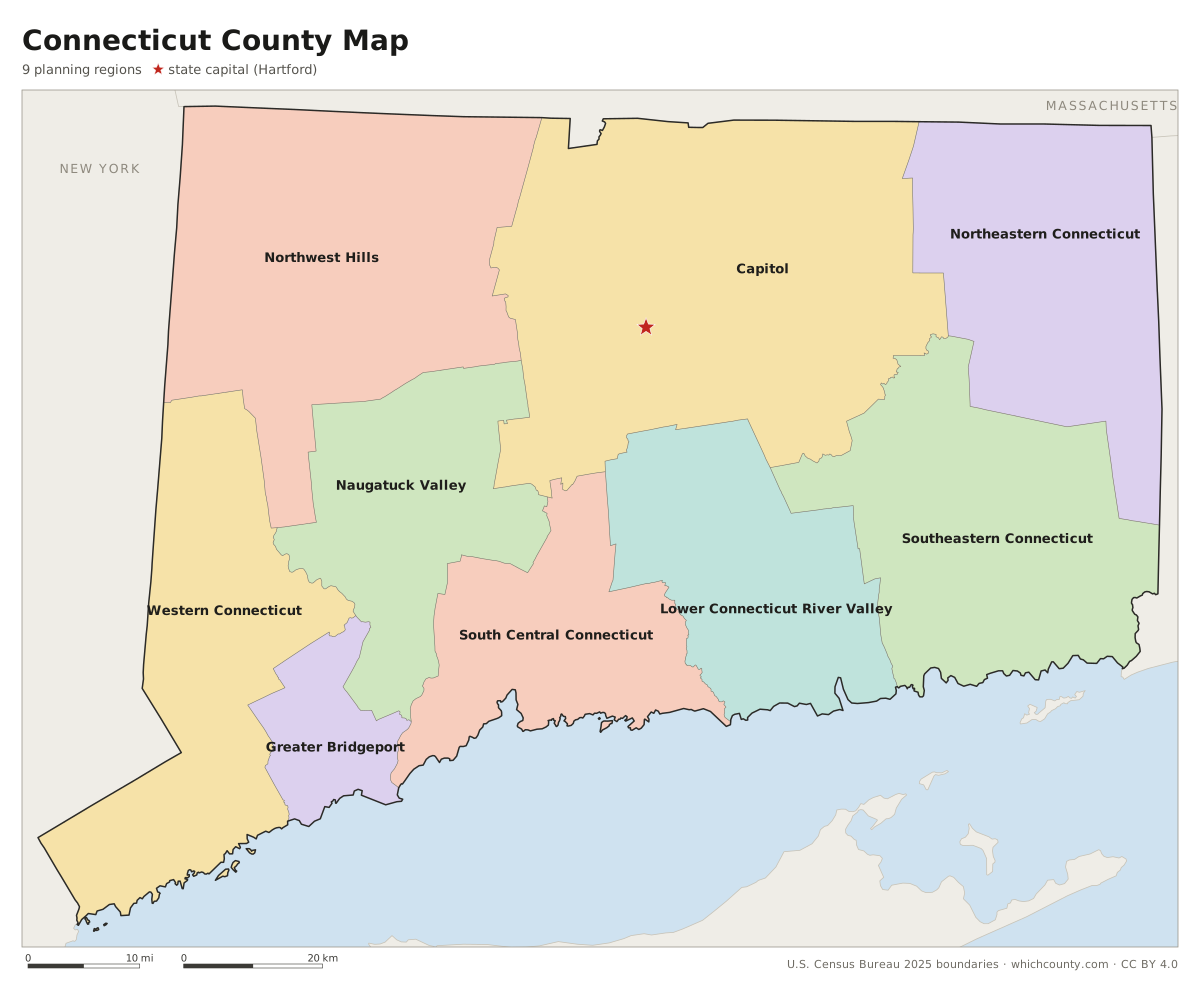
Connecticut has nine planning regions, which replaced its eight historic counties as county-equivalents in Census data in 2022. This map shows all 9 planning regions. Tap a planning region for details, or download the free printable map below.

Updated October 4, 2026 · Boundaries: U.S. Census Bureau 2025 · Population: Census estimates for July 1, 2025
Connecticut planning region facts
- Number of planning regions
- 9
- Largest by land area
- Capitol Planning Region 1,027 sq mi
- Smallest by land area
- Greater Bridgeport Planning Region 140.2 sq mi
- Most people
- Capitol Planning Region 994,115
- Fewest people
- Northeastern Connecticut Planning Region 98,096
- Fastest growing since 2020
- Greater Bridgeport Planning Region +3.7%
- Highest median household income
- Western Connecticut Planning Region $128,188
- State capital
- Hartford Capitol Planning Region
The elected office of county high sheriff, the last remnant of county government, was abolished by a constitutional referendum in 2000.
Planning regions are built from whole towns and do not follow the old county lines. The closest match is Middlesex County: all 15 of its towns lie in the Lower Connecticut River Valley Planning Region, which also takes in two towns from New London County.
Census data published before June 1, 2022, including the 2020 census publications, still use the eight historic counties.
List of 9 Connecticut planning regions
Sorted A–Z. Click a column to sort, or a name to show it on the map. Download as CSV
| Planning region | County seat | Population 2025 | Change since 2020 | Land area (sq mi) | Median income | FIPS |
|---|---|---|---|---|---|---|
| Capitol Planning Region | No county seat (planning region; Connecticut abolished county government in 1960) | 994,115 | +1.7% | 1,027 | $93,394 | 09110 |
| Greater Bridgeport Planning Region | No county seat (planning region; Connecticut abolished county government in 1960) | 337,697 | +3.7% | 140 | $89,667 | 09120 |
| Lower Connecticut River Valley Planning Region | No county seat (planning region; Connecticut abolished county government in 1960) | 177,311 | +1.8% | 424 | $104,428 | 09130 |
| Naugatuck Valley Planning Region | No county seat (planning region; Connecticut abolished county government in 1960) | 463,349 | +2.9% | 413 | $86,191 | 09140 |
| Northeastern Connecticut Planning Region | No county seat (planning region; Connecticut abolished county government in 1960) | 98,096 | +2.9% | 554 | $90,589 | 09150 |
| Northwest Hills Planning Region | No county seat (planning region; Connecticut abolished county government in 1960) | 114,690 | +2% | 787 | $93,551 | 09160 |
| South Central Connecticut Planning Region | No county seat (planning region; Connecticut abolished county government in 1960) | 578,741 | +1.4% | 367 | $88,197 | 09170 |
| Southeastern Connecticut Planning Region | No county seat (planning region; Connecticut abolished county government in 1960) | 284,015 | +1.3% | 598 | $86,586 | 09180 |
| Western Connecticut Planning Region | No county seat (planning region; Connecticut abolished county government in 1960) | 640,482 | +3.2% | 532 | $128,188 | 09190 |
Connecticut planning region map with cities
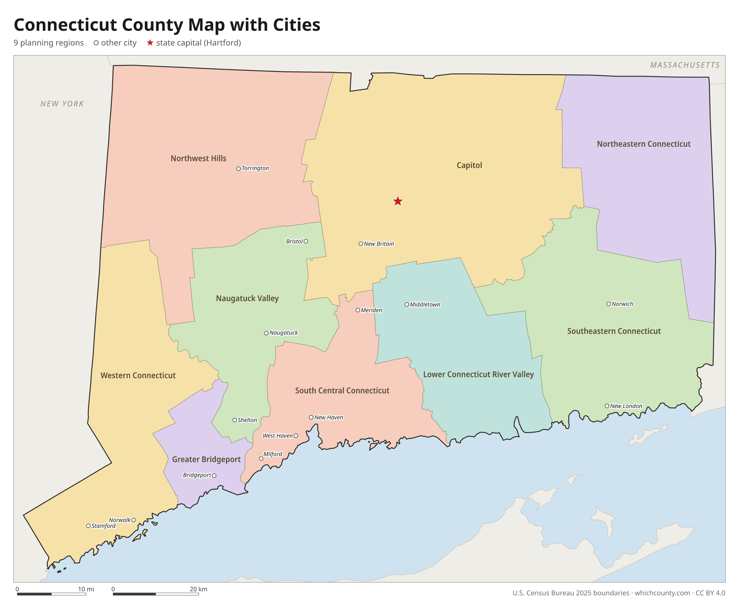
The largest cities in Connecticut and the planning regions they are in. Cities that cross a planning region line list every planning region, the main one first. To find any smaller town, use the search box above.
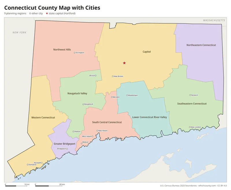
| City | Planning region | Population 2025 |
|---|---|---|
| Bridgeport | Greater Bridgeport Planning Region | 152,273 |
| Stamford | Western Connecticut Planning Region | 139,535 |
| New Haven | South Central Connecticut Planning Region | 138,774 |
| Hartford | Capitol Planning Region | 121,981 |
| Waterbury | Naugatuck Valley Planning Region | 115,771 |
| Norwalk | Western Connecticut Planning Region | 94,508 |
| Danbury | Western Connecticut Planning Region | 89,033 |
| New Britain | Capitol Planning Region | 76,286 |
| Fairfield | Greater Bridgeport Planning Region | 66,262 |
| Greenwich | Western Connecticut Planning Region | 64,801 |
| West Hartford | Capitol Planning Region | 64,242 |
| Bristol | Naugatuck Valley Planning Region | 62,341 |
| Hamden | South Central Connecticut Planning Region | 61,824 |
| Meriden | South Central Connecticut Planning Region | 60,810 |
| Manchester | Capitol Planning Region | 59,773 |
| West Haven | South Central Connecticut Planning Region | 55,351 |
| Stratford | Greater Bridgeport Planning Region | 53,908 |
| Milford | South Central Connecticut Planning Region | 51,215 |
| East Hartford | Capitol Planning Region | 50,968 |
| Middletown | Lower Connecticut River Valley Planning Region | 48,439 |
| Wallingford | South Central Connecticut Planning Region | 44,406 |
| Southington | Capitol Planning Region | 44,242 |
| Shelton | Naugatuck Valley Planning Region | 42,880 |
| Enfield | Capitol Planning Region | 41,142 |
| Norwich | Southeastern Connecticut Planning Region | 40,001 |
| Groton | Southeastern Connecticut Planning Region | 39,138 |
| Trumbull | Greater Bridgeport Planning Region | 38,075 |
| Torrington | Northwest Hills Planning Region | 35,796 |
| Glastonbury | Capitol Planning Region | 35,503 |
| Naugatuck | Naugatuck Valley Planning Region | 32,230 |
Printable Connecticut planning region maps (free PDF, PNG, SVG)
Every map is free to print and share. The PDFs are vector files with real text, so they stay sharp at any size and you can search them for a planning region name. Use 11×17 (tabloid) for the most readable labels.
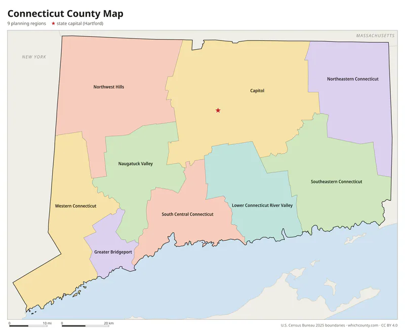
Color map with names
All 9 planning regions labeled, county seats marked. Letter and 11×17 PDF, high-resolution PNG, editable SVG.
Map with cities
Planning regions with their county seat towns and major cities.
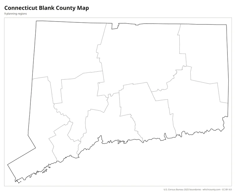
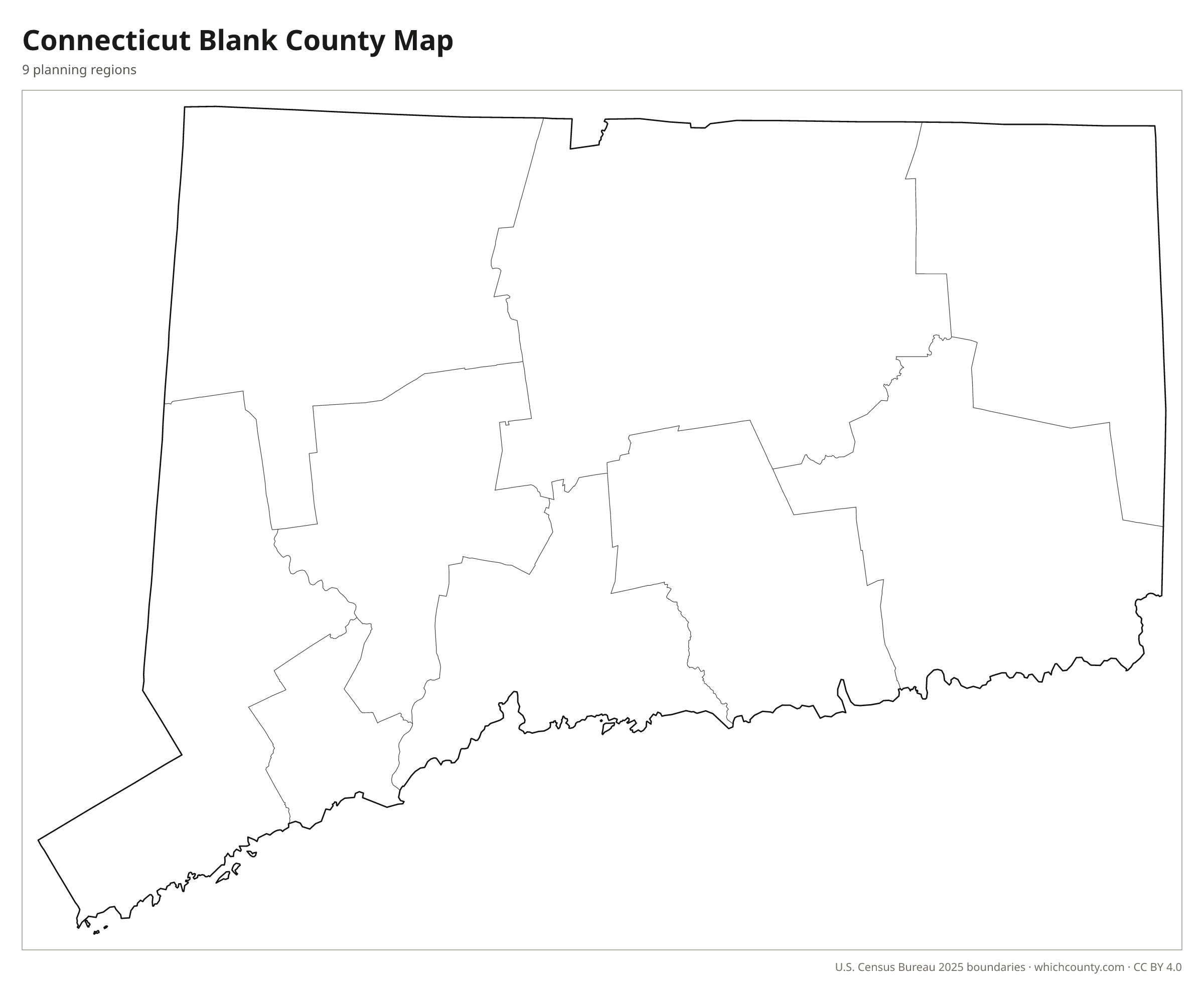
Blank outline map
Planning region lines only, no names. For quizzes, coloring and your own notes.
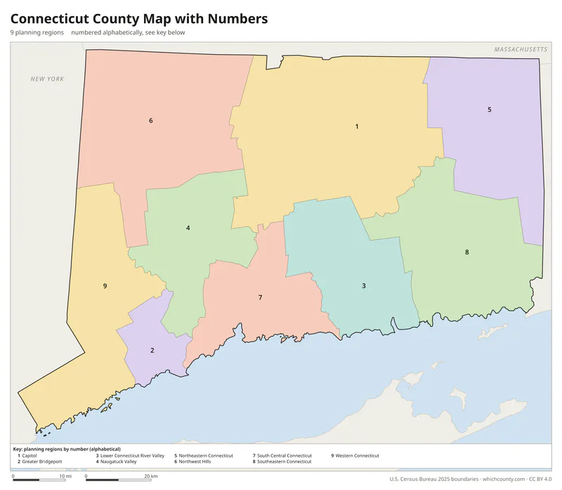
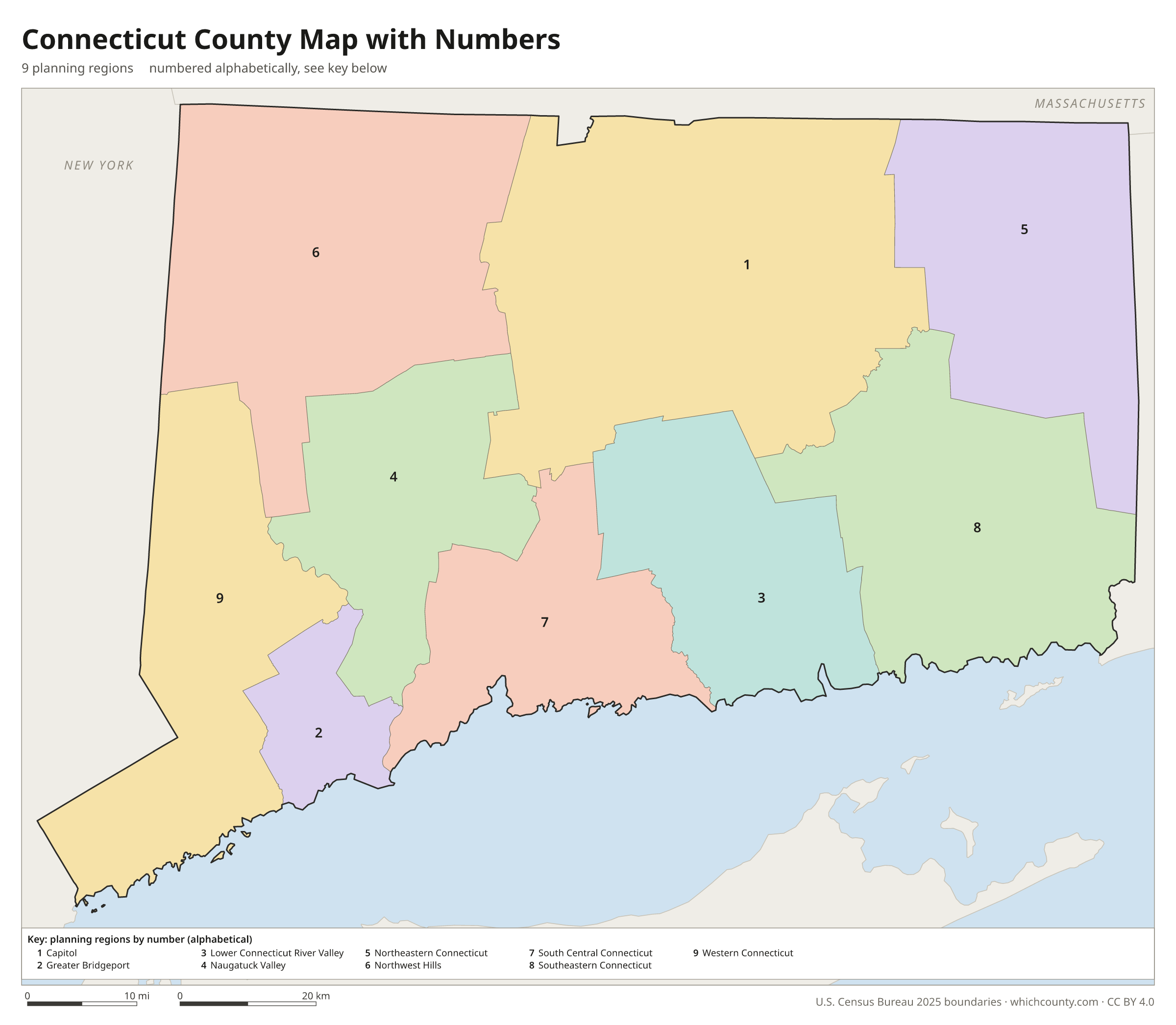
Numbered map with key
A number in every planning region with an alphabetical key.
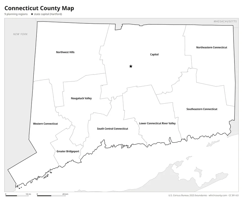
Black and white
Labeled map that prints well on any printer.
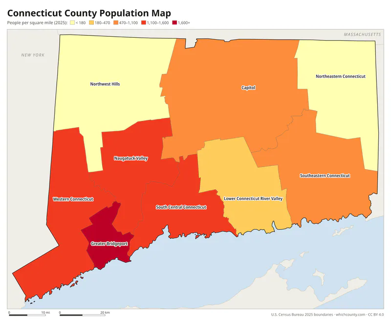
Population map
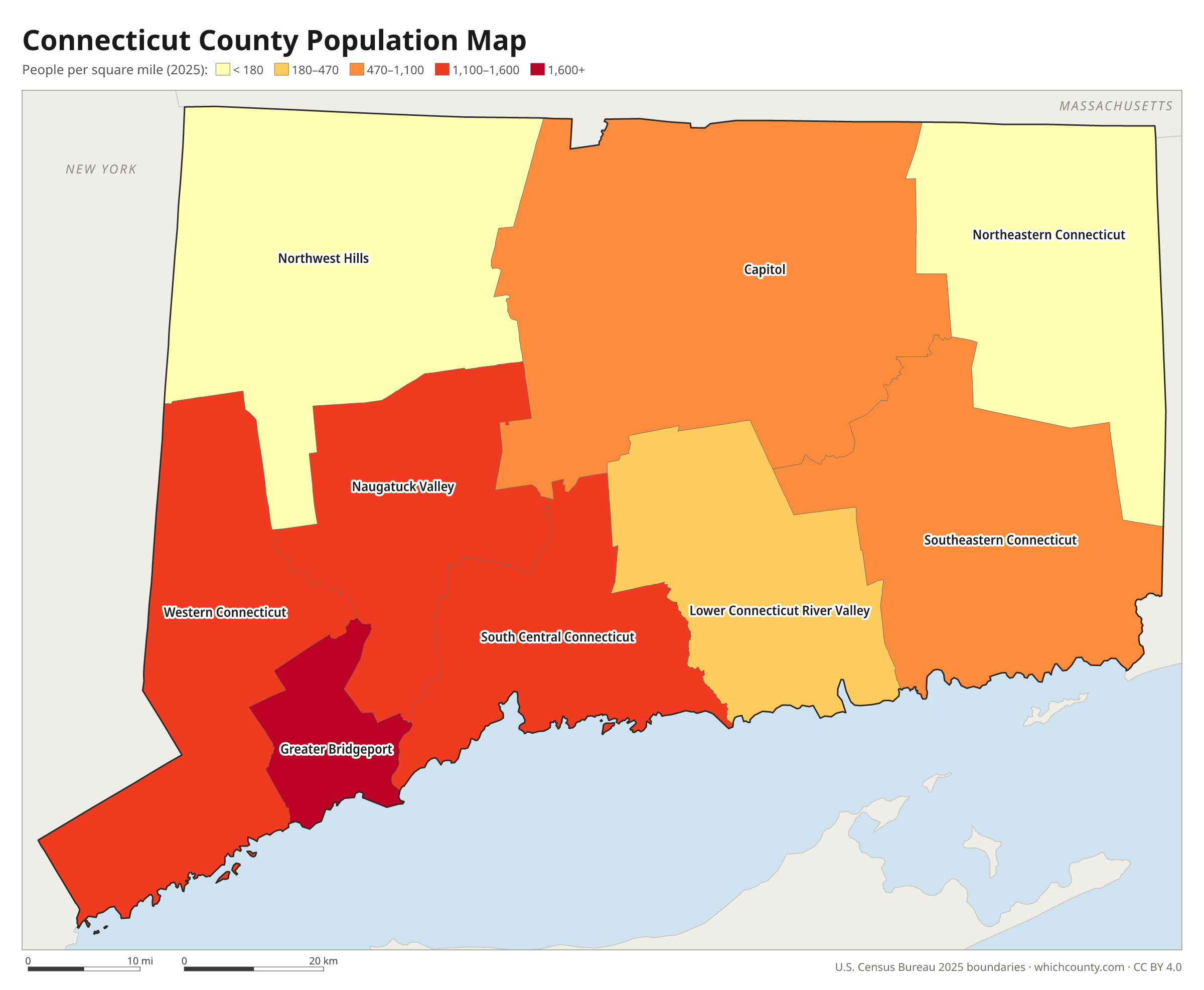
Planning regions shaded by population density (2025 estimates).
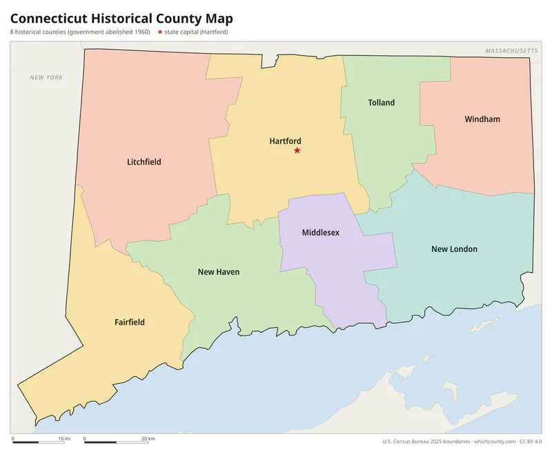
The 8 historic counties
Fairfield, Hartford, Litchfield, Middlesex, New Haven, New London, Tolland and Windham, which still exist on maps but have had no government since 1960.
Data and GIS files
The planning region table as CSV, and the boundaries as GeoJSON and KML (Google Earth, Google My Maps).
Why Connecticut uses planning regions
Connecticut Colony created its first four counties in May 1666: Fairfield, Hartford, New Haven and New London. According to Rosaline Levenson's 1966 study of county government in the state, colonial lawmakers wanted to shorten the trips people made on official business and to run jails and courts more efficiently. Windham, Litchfield, Middlesex and Tolland completed the system by 1785. County courts were gone by 1855, and by the mid-1900s the state had taken over most county duties. Running jails was the main job left when Public Act 152 abolished county government on October 1, 1960. Planning regions work differently. The state draws the regions, and each town joins its region's council of governments by local ordinance. In 2014 the state cut the number of regions from 15 to nine. The councils cannot levy taxes, but in 2022 the Census Bureau adopted the nine regions as county-equivalents.
County maps of neighboring states
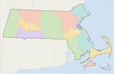 Massachusetts county map
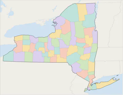 New York county map
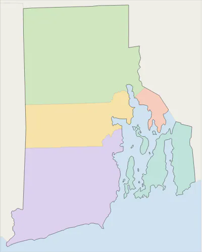 Rhode Island county map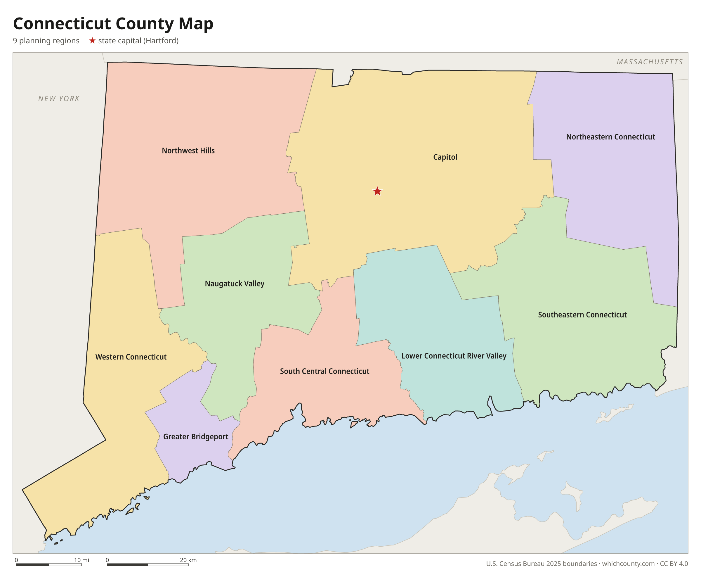
Connecticut planning regions: questions and answers
- How many planning regions are in Connecticut?
- Connecticut has 9 planning regions. The Census Bureau has counted Connecticut's nine planning regions as its county-equivalents since 2022, in place of the eight historic counties: Fairfield, Hartford, Litchfield, Middlesex, New Haven, New London, Tolland and Windham. Those counties still exist as geographic subdivisions, but they have had no government and no county seats since October 1, 1960.
- What is the largest planning region in Connecticut?
- By land area, Capitol Planning Region is the largest (1,027 sq mi). By population, Capitol Planning Region is the largest, with 994,115 people (2025 estimate).
- What is the smallest planning region in Connecticut?
- Greater Bridgeport Planning Region is the smallest by land area (140.2 sq mi). Northeastern Connecticut Planning Region has the fewest people: 98,096 (2025 estimate).
- What is the wealthiest planning region in Connecticut?
- By median household income, Western Connecticut Planning Region ranks first with $128,188 (American Community Survey 2020–2024). The lowest is Naugatuck Valley Planning Region at $86,191.
- What planning region is Bridgeport in?
- Bridgeport is in Greater Bridgeport Planning Region.
- What planning region is Stamford in?
- Stamford is in Western Connecticut Planning Region.
- What planning region is New Haven in?
- New Haven is in South Central Connecticut Planning Region.
- What planning region is Hartford in?
- Hartford, the state capital, is in Capitol Planning Region.
- How can I see planning region lines on Google Maps?
- Google Maps does not draw planning region lines. Download the KML file from the printable maps section above and import it into Google My Maps (Create a new map › Import) or open it in Google Earth to see every Connecticut planning region boundary on top of Google's map.
- Can I use this map for free?
- Yes. The maps and files on this page are free to print, share and use in your own work, including commercial projects, under the CC BY 4.0 licence. Please credit “WhichCounty (whichcounty.com)”.
Use this map on your site
You may copy, print and publish these maps, also commercially, as long as you credit WhichCounty with a link (licence details). Paste this code to embed the map:
Sources and methodology
- Boundaries: U.S. Census Bureau, 2025 Cartographic Boundary Files (1:500,000), simplified for display. Projection: Lambert conformal conic fitted to Connecticut.
- Population: Census Bureau county estimates, Vintage 2025 (July 1, 2025), compared with the April 1, 2020 estimates base.
- Land area: Census Bureau 2026 Gazetteer files. Median household income: American Community Survey 2020–2024 5-year estimates.
- County seats and founding years: Wikidata (CC0), checked against state lists by WhichCounty. Cities: Census Bureau city and town estimates, Vintage 2025.
- Change to County-Equivalents in the State of Connecticut (Federal Register, U.S. Census Bureau, June 6, 2022)
- Site Lines: Monuments to Connecticut's Lost County Government (ConnecticutHistory.org, from Connecticut Explored)
- Register and Manual, Section VI: Counties (Connecticut Secretary of the State)
- 2014 Redesignation of Planning Regions (Connecticut Office of Policy and Management)
- Atlas of Historical County Boundaries: Connecticut (Newberry Library)
Found an error? Tell us. Last data update: October 4, 2026.