New Jersey County Map
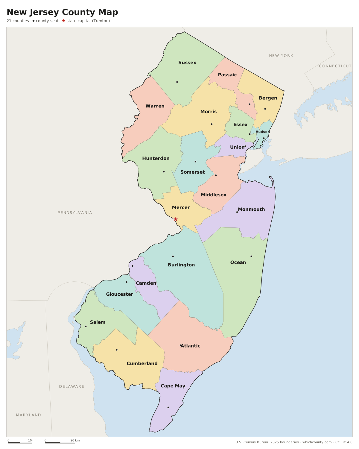
All 21 counties with county seats and major cities
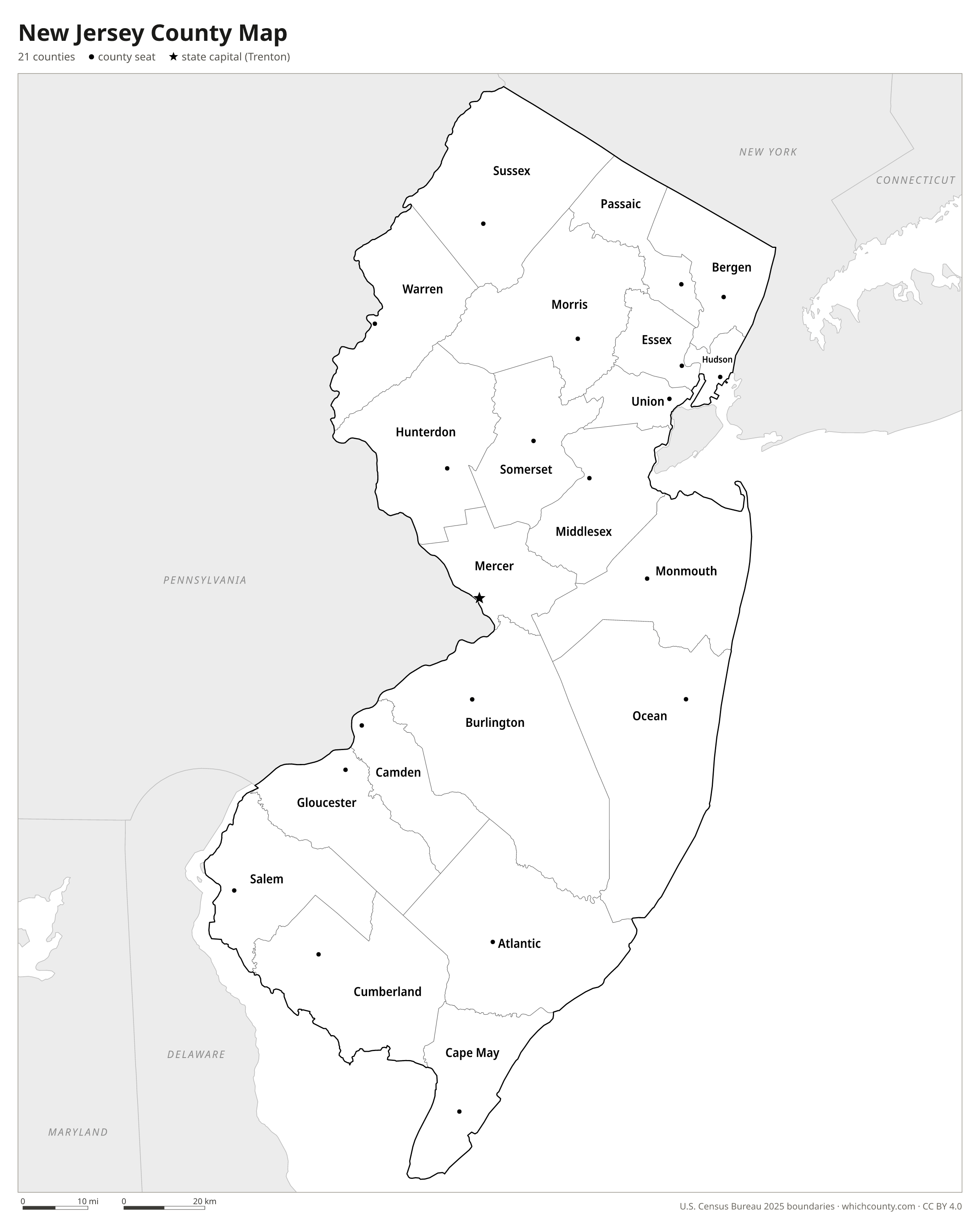
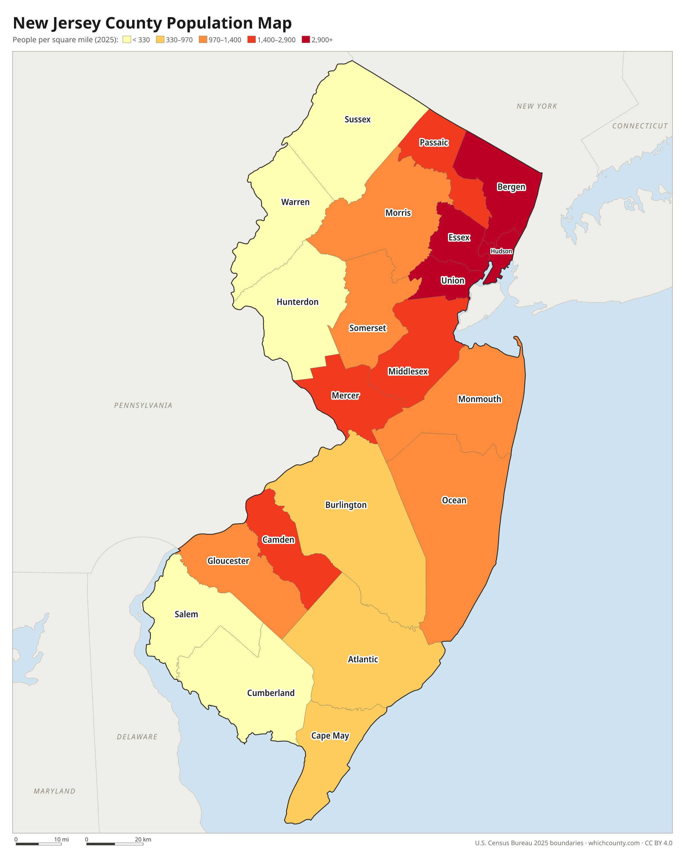
New Jersey has 21 counties, and Hudson County, with about 46 square miles of land, is among the ten smallest counties in the nation. This map shows all 21 counties and their county seats. Tap a county for details, or download the free printable map below.

Updated October 4, 2026 · Boundaries: U.S. Census Bureau 2025 · Population: Census estimates for July 1, 2025
New Jersey county facts
- Number of counties
- 21
- Largest by land area
- Burlington County 799 sq mi
- Smallest by land area
- Hudson County 46.2 sq mi
- Most people
- Bergen County 977,026
- Fewest people
- Salem County 66,280
- Fastest growing since 2020
- Ocean County +5.7%
- Highest median household income
- Hunterdon County $141,715
- Oldest county
- Bergen County est. 1683
- Newest county
- Union County est. 1857
- State capital
- Trenton Mercer County
List of 21 New Jersey counties
Sorted A–Z. Click a column to sort, or a name to show it on the map. Download as CSV
| County | County seat | Population 2025 | Change since 2020 | Land area (sq mi) | Median income | Established | FIPS |
|---|---|---|---|---|---|---|---|
| Atlantic County | Mays Landing | 278,657 | +1.5% | 556 | $78,050 | 1837 | 34001 |
| Bergen County | Hackensack | 977,026 | +2.2% | 233 | $124,884 | 1683 | 34003 |
| Burlington County | Mount Holly | 481,439 | +4.2% | 799 | $108,111 | 1694 | 34005 |
| Camden County | Camden | 535,799 | +2.4% | 221 | $88,755 | 1844 | 34007 |
| Cape May County | Cape May Court House | 93,390 | −2% | 252 | $91,128 | 1685 | 34009 |
| Cumberland County | Bridgeton | 157,148 | +2% | 483 | $67,436 | 1748 | 34011 |
| Essex County | Newark | 896,379 | +3.9% | 126 | $80,789 | 1683 | 34013 |
| Gloucester County | Woodbury | 312,638 | +3.4% | 322 | $105,115 | 1686 | 34015 |
| Hudson County | Jersey City | 735,033 | +1.4% | 46 | $91,795 | 1840 | 34017 |
| Hunterdon County | Flemington | 131,781 | +2.2% | 428 | $141,715 | 1714 | 34019 |
| Mercer County | Trenton | 399,289 | +3.1% | 225 | $100,645 | 1838 | 34021 |
| Middlesex County | New Brunswick | 883,335 | +2.3% | 309 | $111,549 | 1683 | 34023 |
| Monmouth County | Freehold | 651,035 | +1.2% | 468 | $124,845 | 1683 | 34025 |
| Morris County | Morristown | 524,251 | +2.9% | 461 | $137,326 | 1739 | 34027 |
| Ocean County | Toms River | 673,746 | +5.7% | 628 | $89,863 | 1850 | 34029 |
| Passaic County | Paterson | 531,624 | +1.3% | 186 | $87,522 | 1837 | 34031 |
| Salem County | Salem | 66,280 | +2.3% | 332 | $79,960 | 1694 | 34033 |
| Somerset County | Somerville | 356,486 | +3.2% | 302 | $140,374 | 1688 | 34035 |
| Sussex County | Newton | 148,063 | +2.7% | 519 | $116,186 | 1753 | 34037 |
| Union County | Elizabeth | 601,863 | +4.6% | 103 | $103,202 | 1857 | 34039 |
| Warren County | Belvidere | 112,953 | +3% | 357 | $100,869 | 1824 | 34041 |
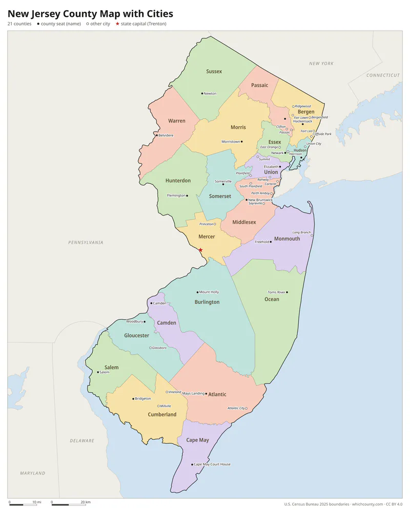
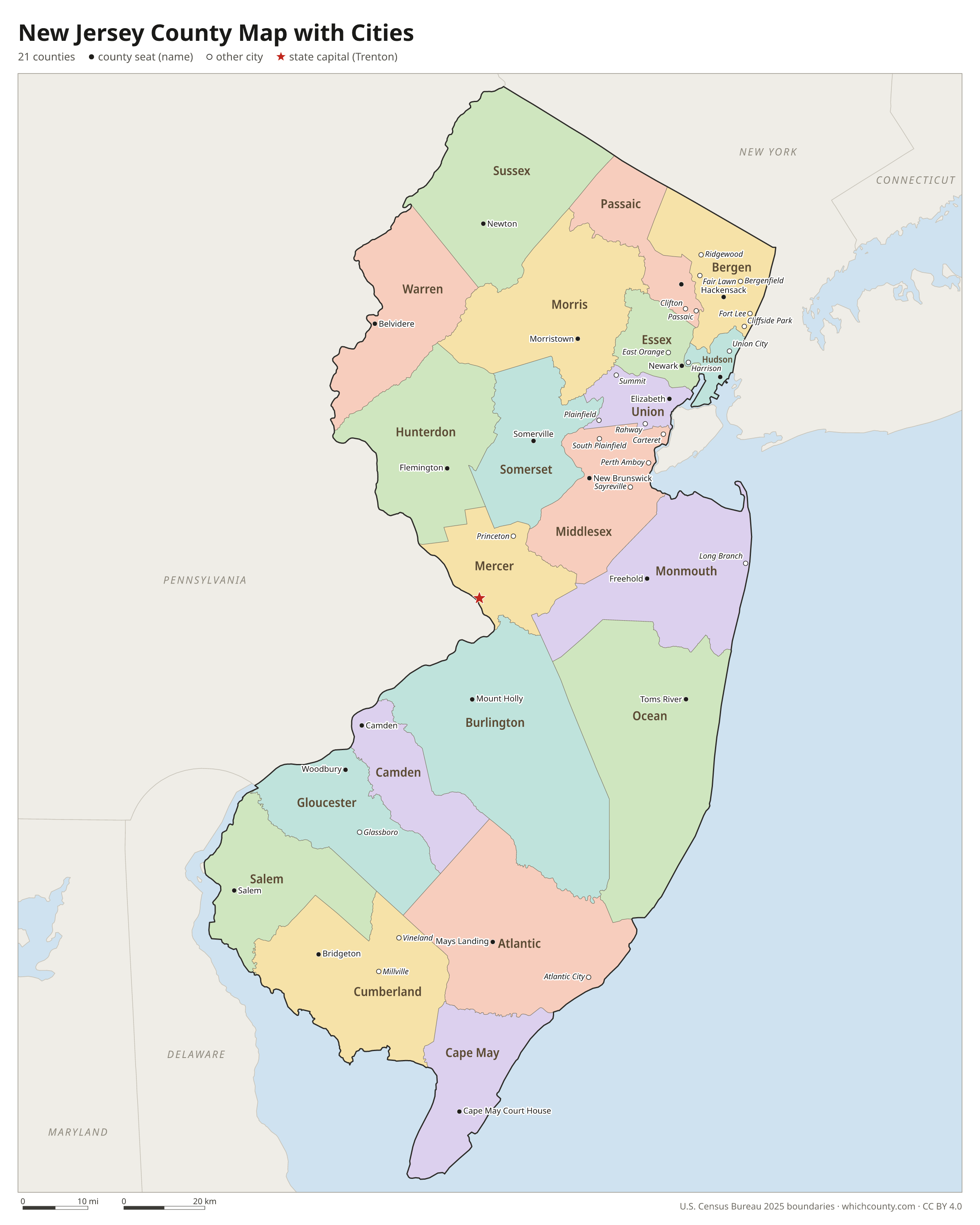
New Jersey county map with cities
The largest cities in New Jersey and the counties they are in. Cities that cross a county line list every county, the main one first. To find any smaller town, use the search box above.
| City | County | Population 2025 |
|---|---|---|
| Newark | Essex County | 323,808 |
| Jersey City | Hudson County | 302,013 |
| Paterson | Passaic County | 161,793 |
| Lakewood | Ocean County | 143,765 |
| Elizabeth | Union County | 141,675 |
| Edison | Middlesex County | 109,077 |
| Woodbridge | Middlesex County | 104,802 |
| Toms River | Ocean County | 100,899 |
| Hamilton | Mercer County | 94,157 |
| Trenton | Mercer County | 91,506 |
| Clifton | Passaic County | 91,127 |
| Cherry Hill | Camden County | 79,965 |
| Brick | Ocean County | 77,402 |
| Bayonne | Hudson County | 74,744 |
| East Orange | Essex County | 72,159 |
| Camden | Camden County | 71,430 |
| Passaic | Passaic County | 71,337 |
| Old Bridge | Middlesex County | 70,228 |
| Franklin | Somerset County | 69,105 |
| Middletown | Monmouth County | 67,135 |
| Gloucester | Camden County | 67,085 |
| Union City | Hudson County | 66,656 |
| Union | Union County | 63,675 |
| Vineland | Cumberland County | 62,703 |
| Piscataway | Middlesex County | 62,253 |
| Irvington | Essex County | 62,233 |
| North Bergen | Hudson County | 61,483 |
| Jackson | Ocean County | 61,281 |
| Hoboken | Hudson County | 59,027 |
| Plainfield | Union County | 57,141 |
Printable New Jersey county maps (free PDF, PNG, SVG)
Every map is free to print and share. The PDFs are vector files with real text, so they stay sharp at any size and you can search them for a county name. Use 11×17 (tabloid) for the most readable labels.
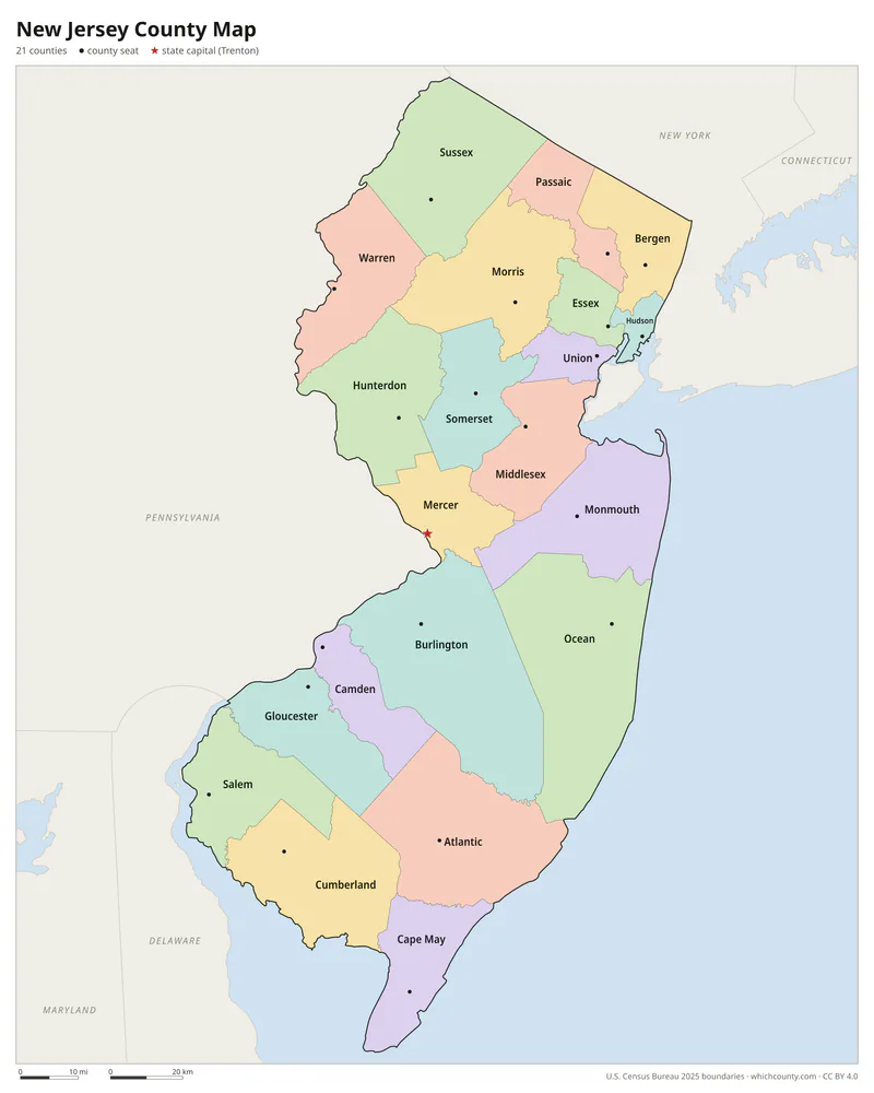
Color map with names
All 21 counties labeled, county seats marked. Letter and 11×17 PDF, high-resolution PNG, editable SVG.
Map with cities
Counties with their county seat towns and major cities.
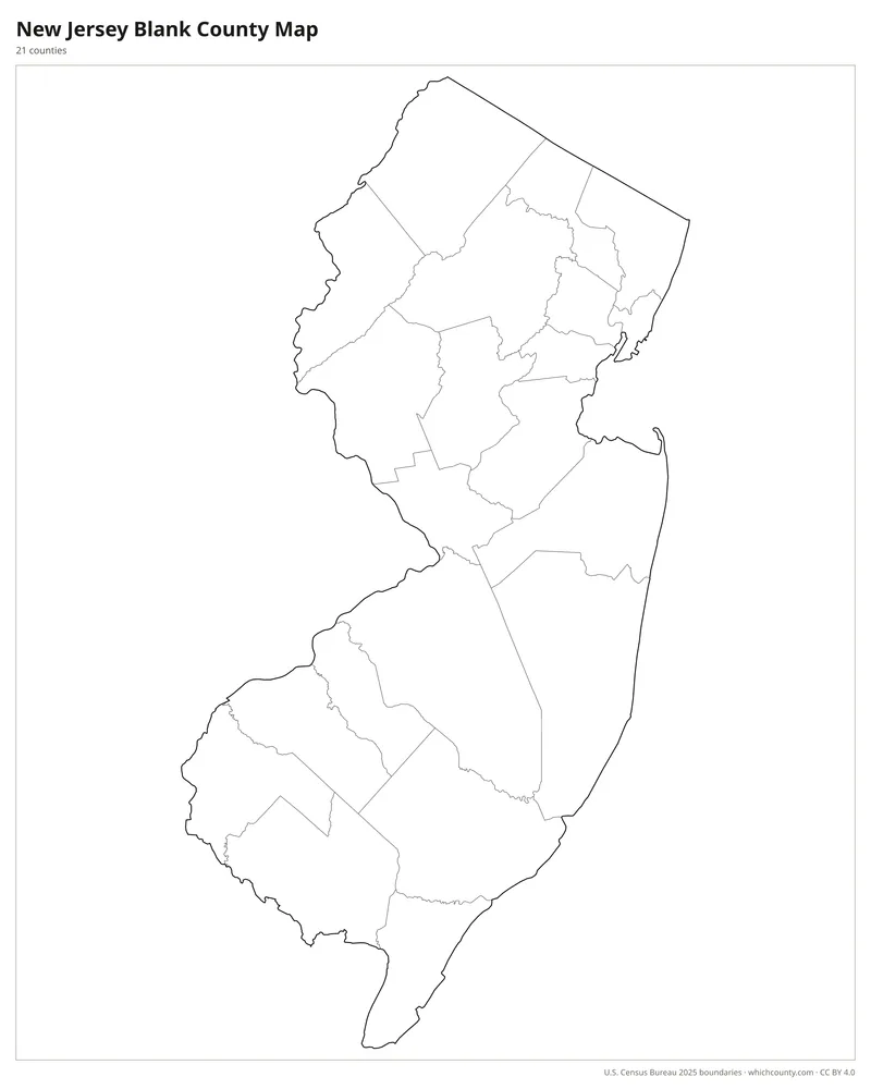
Blank outline map
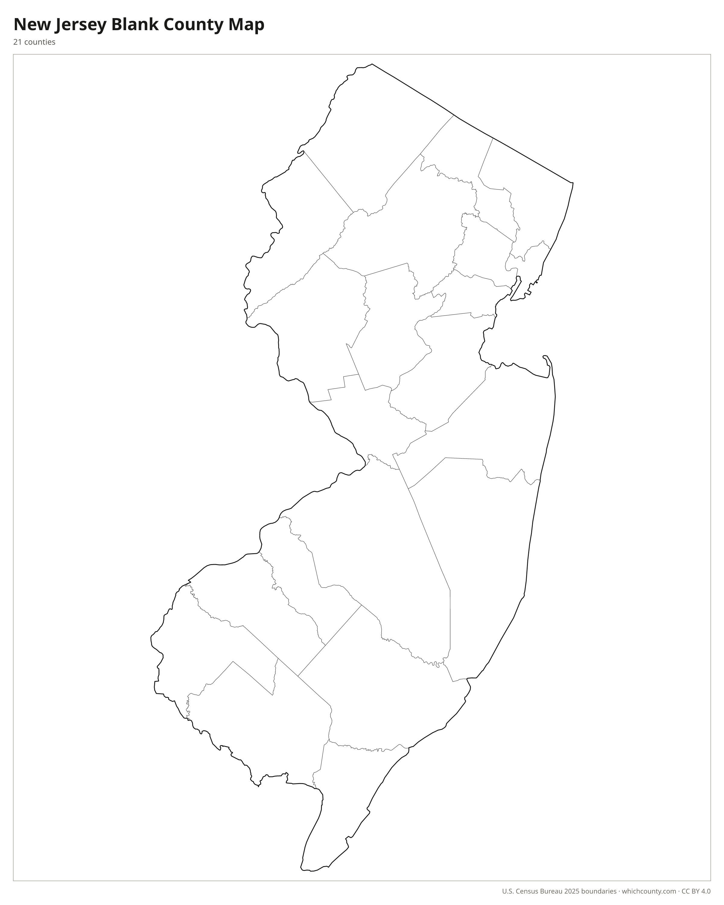
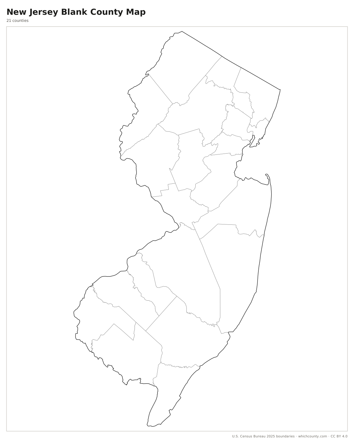
County lines only, no names. For quizzes, coloring and your own notes.
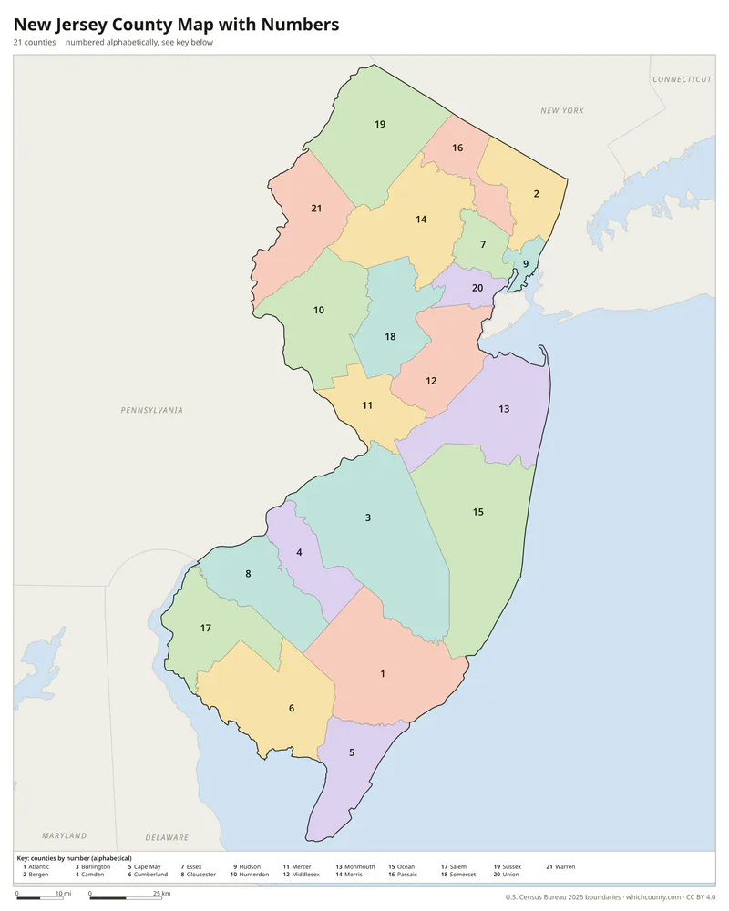
Numbered map with key
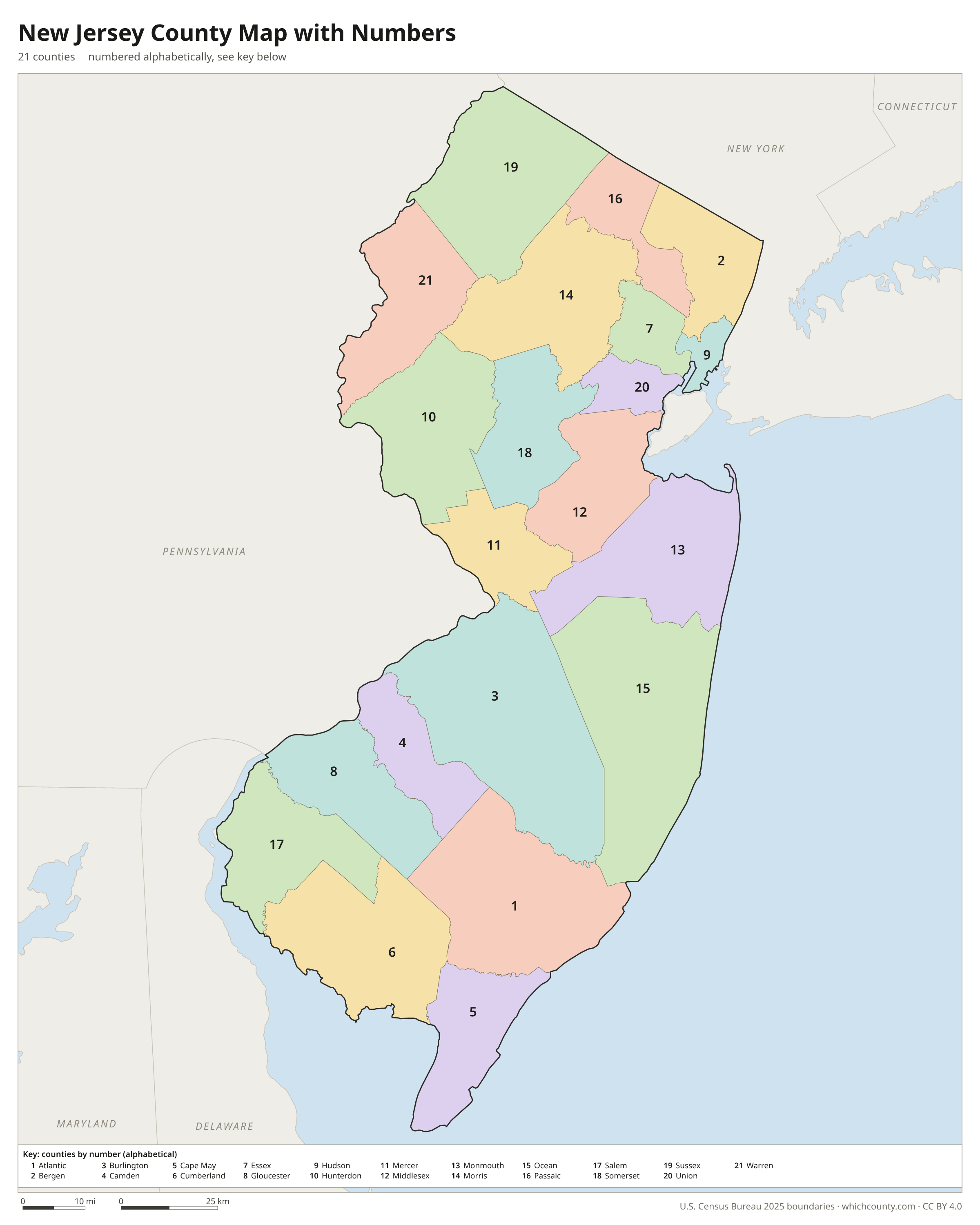
A number in every county with an alphabetical key.
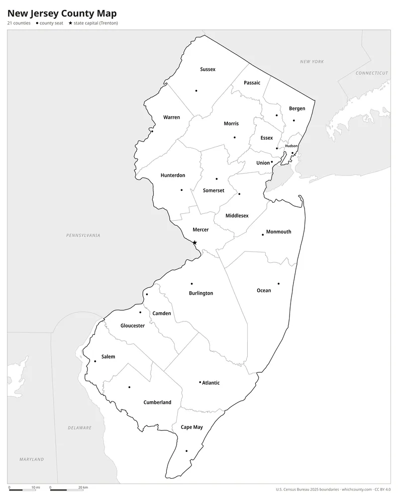
Black and white
Labeled map that prints well on any printer.
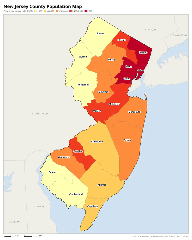
Population map
Counties shaded by population density (2025 estimates).
Data and GIS files
The county table as CSV, and the boundaries as GeoJSON and KML (Google Earth, Google My Maps).
From two colonies to 21 counties
New Jersey's counties grew out of two colonies. In March 1683 the General Assembly of East Jersey erected four counties: Bergen, Essex, Middlesex and Monmouth. West Jersey used courts instead. Burlington and Salem courts date from 1681, Cape May from 1685 and Gloucester from 1686, and in 1694 all four were given boundaries and formally made counties. After the proprietors gave up their right to govern in 1702, an act of 1710 set the boundaries of all nine counties. These were then subdivided until 1857, when the Legislature created Union County, the last of the 21. According to John P. Snyder's boundary history, almost every county formed from 1714 on came from the same pressure: more people and more court business, with jurors travelling from remote parts of the county. Economics and politics often mattered as much, and some counties were voted in along strictly party lines.
County maps of neighboring states
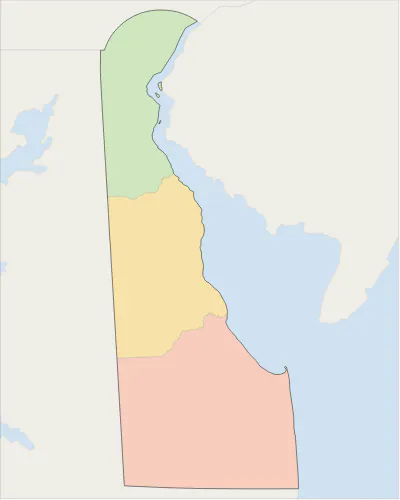 Delaware county map
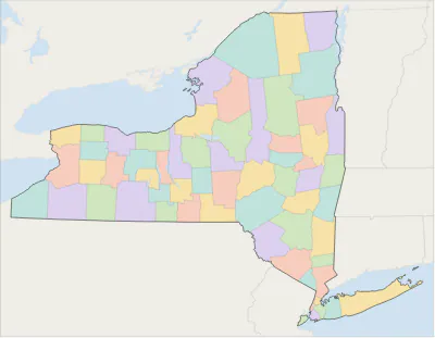 New York county map
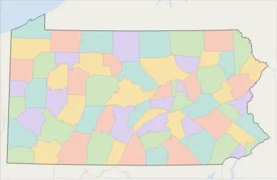 Pennsylvania county map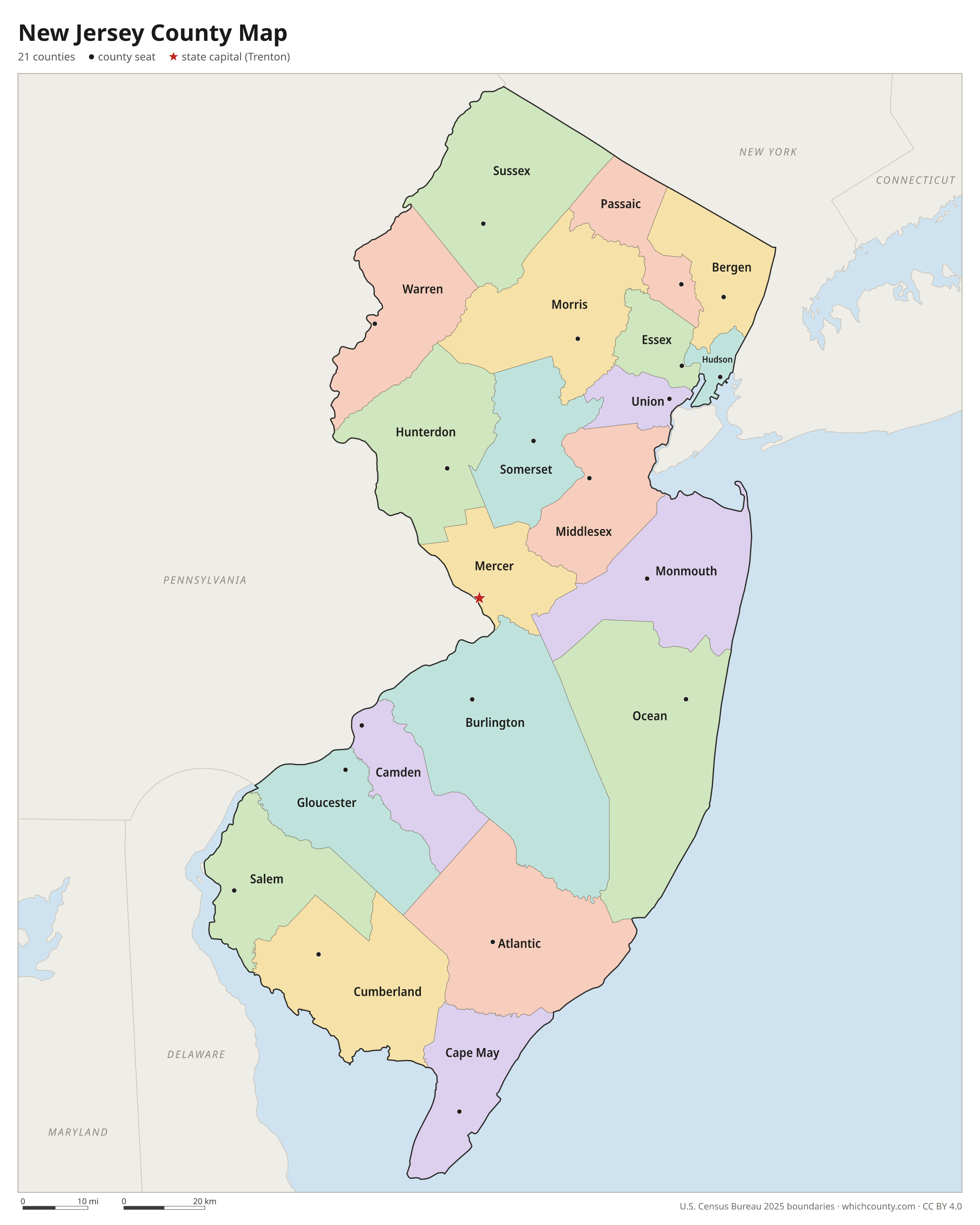
New Jersey counties: questions and answers
- How many counties are in New Jersey?
- New Jersey has 21 counties.
- What is the largest county in New Jersey?
- By land area, Burlington County is the largest (799 sq mi). By population, Bergen County is the largest, with 977,026 people (2025 estimate).
- What is the smallest county in New Jersey?
- Hudson County is the smallest by land area (46.2 sq mi). Salem County has the fewest people: 66,280 (2025 estimate).
- What is the wealthiest county in New Jersey?
- By median household income, Hunterdon County ranks first with $141,715 (American Community Survey 2020–2024). The lowest is Cumberland County at $67,436.
- What county is Newark in?
- Newark is in Essex County.
- What county is Jersey City in?
- Jersey City is in Hudson County.
- What county is Paterson in?
- Paterson is in Passaic County.
- What county is Trenton in?
- Trenton, the state capital, is in Mercer County.
- How can I see county lines on Google Maps?
- Google Maps does not draw county lines. Download the KML file from the printable maps section above and import it into Google My Maps (Create a new map › Import) or open it in Google Earth to see every New Jersey county boundary on top of Google's map.
- Can I use this map for free?
- Yes. The maps and files on this page are free to print, share and use in your own work, including commercial projects, under the CC BY 4.0 licence. Please credit “WhichCounty (whichcounty.com)”.
Use this map on your site
You may copy, print and publish these maps, also commercially, as long as you credit WhichCounty with a link (licence details). Paste this code to embed the map:
Sources and methodology
- Boundaries: U.S. Census Bureau, 2025 Cartographic Boundary Files (1:500,000), simplified for display. Projection: Lambert conformal conic fitted to New Jersey.
- Population: Census Bureau county estimates, Vintage 2025 (July 1, 2025), compared with the April 1, 2020 estimates base.
- Land area: Census Bureau 2026 Gazetteer files. Median household income: American Community Survey 2020–2024 5-year estimates.
- County seats and founding years: Wikidata (CC0), checked against state lists by WhichCounty. Cities: Census Bureau city and town estimates, Vintage 2025.
- John P. Snyder, The Story of New Jersey's Civil Boundaries 1606-1968 (N.J. Geological Survey Bulletin 67, 1969; New Jersey State Library scan)
- Assessors Handbook, Chapter 1: Local Government in New Jersey (N.J. Division of Taxation)
- Atlas of Historical County Boundaries: New Jersey (Newberry Library)
Found an error? Tell us. Last data update: October 4, 2026.