US county map with names
All 3,144 counties and county-equivalents of the United States on one map, with 2,991 county names. Print it as a 36 × 24 inch wall poster or use the high-resolution image. Counties too small for a readable name are left blank; every state's own county map names all of them.

Free downloads
- Poster PDF with names (36 × 24 in) (1.5 MB)
- PNG with names (7200 px) (2.4 MB)
- Blank outline PDF (11 × 17 in) (1.3 MB)
- Blank outline PNG (7200 px) (1.5 MB)
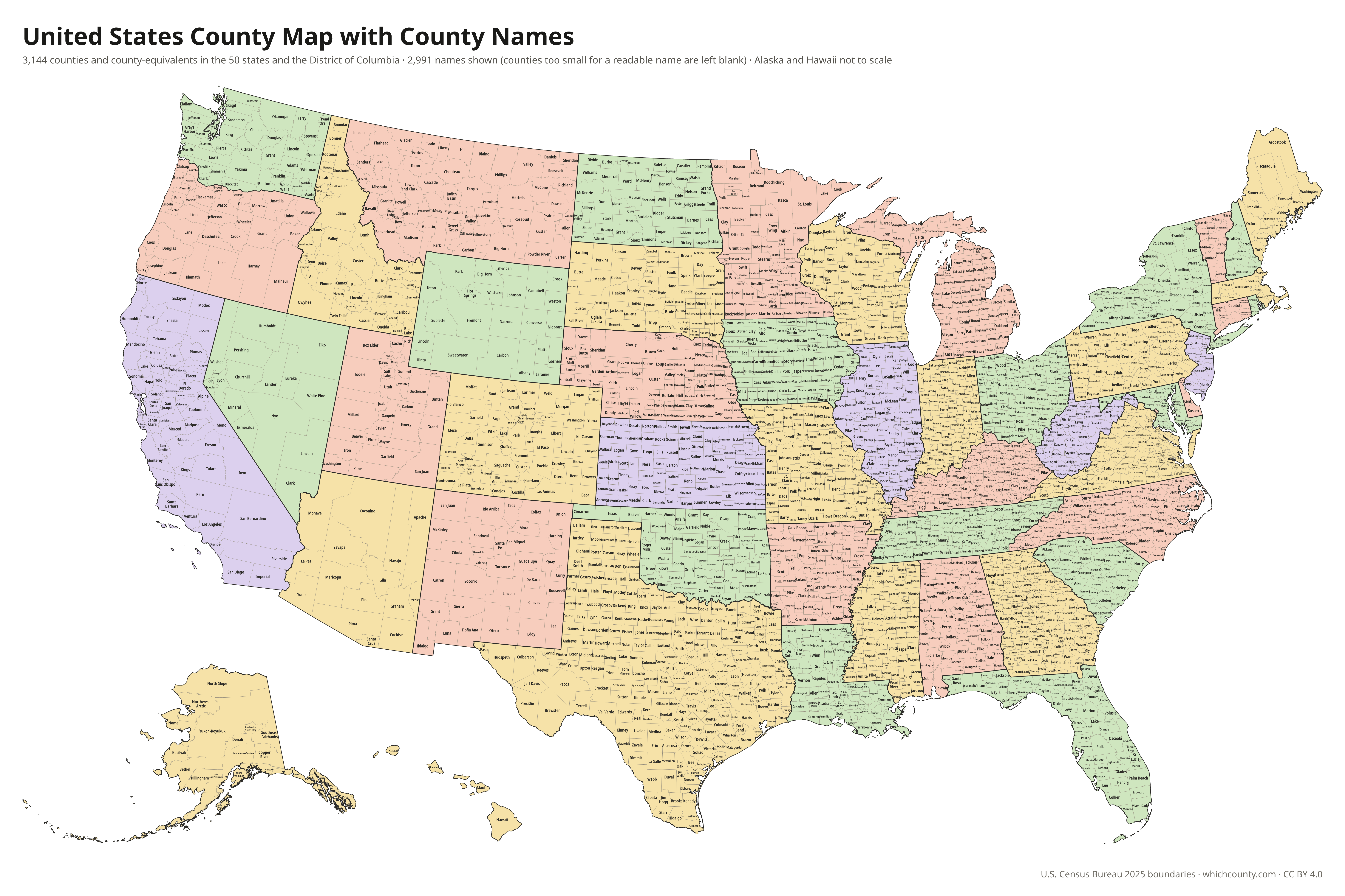
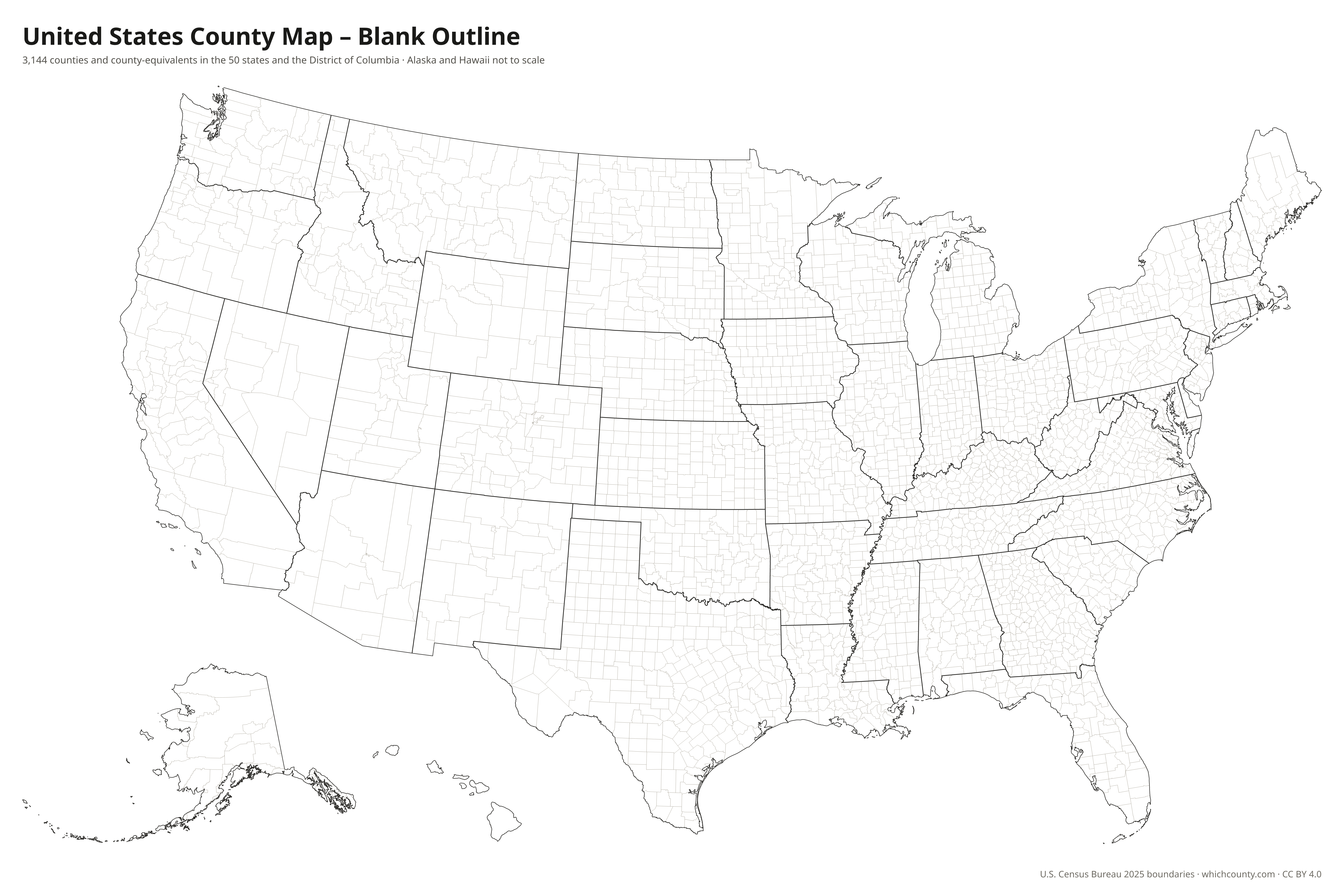
The PDFs are vector files with real text: they print sharp at any size and you can search them for a county name. The poster prints well at a copy shop on 36 × 24 inch paper; on smaller paper, the blank outline map is easier to read.